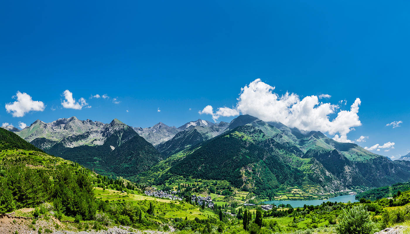
Inland Gran Canaria has everything you need for unforgettable hiking trips on the island. There are a number of routes that you can take past snow-capped mountains, immense valleys, hidden lakes and breathtaking views. Cruz de Tejeda, at an altitude of 1,550 metres, is not only practically right in the centre of the Gran Canaria, it is also the starting point for a large number of the trails that were marked out by the native settlers, the Guanches. Nowadays, they are excellent, signposted routes that everyone can enjoy.
Tracks and routes around Gran Canaria: an age-old tradition
Up until the 19th century and the revolution in overland communications, the trails on Gran Canaria were the backbone of travel for the pre-Hispanic population and, later, for Hispanic inhabitants. The trails tell us a lot about the natives’ love for the mountains. There are numerous archaeological remains peppered all along them.
They also tell the tale of the economy on Gran Canaria. The routes were used by muleteers and shepherds with numerous watering holes dug out along the irrigation channels to provide rest and refreshment for both men and animals.
You will not fail to be amazed by the variety of flora and fauna in the area. Expect to see dense areas of pine, laurel and strawberry trees. You will likely also spot woodpeckers, kestrels, blue chaffinches and canaries as you walk.
Let’s take a look at some of the best routes you can find in inland Gran Canaria.
Hiking on Gran Canaria: from Cruz de Tejeda to La Culata
Our first recommended route begins in Cruz de Tejeda and takes you to La Culata. It ends at an altitude of 1,250 metres and it is well signposted. The route is straight, around seven kilometres long and will take you around an hour and a half to complete. Keep in mind that, if you have left your car in Cruz de Tejeda carpark, you will need to go back for it! The track is wide and easy to navigate since there are few big uphill climbs. You can just walk and enjoy the lush vegetation.
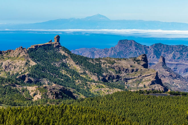
Degllada de Becerra viewpoint offers some truly impressive views of Tejeda ravine as you head ever closer to Roque Nublo and Roque Bentayga crags. On clear evenings, if you look out over the ocean, you can easily spot the silhouette of the Teide on Tenerife.
However, you will no doubt be even more impressed by the majestic volcanic crater and the valley surrounded by huge cliffs. According to recent studies, the terrain is the result of a huge volcanic eruption that took place fourteen million years ago.
Walking routes on Gran Canaria: from La Culata to Roque Bentayga
If you still have some energy left, or if you prefer to take a new route from La Culata, there is a track around Roque Nublo through Culata ravine. As you walk, you never lose sight of Roque Bentayga.
This route is around five and a half kilometres long, not particularly difficult and can be done in around two and a half hours. There is a slight incline all the way to Cruz de Timagada. The walk gets tougher from this point onwards and until you reach the top of Roque Bentayga.

In addition to the flora and fauna that is commonly found in this area, there is some vegetation that was brought to the island for agricultural purposes. Almond trees are just one example, and when they are in bloom, they are a sight to behold.
Roque Bentayga: adored by the natives
This route runs close to and around two huge symbols of Gran Canaria: Roque Nublo and Roque Bentayga monoliths. The former, at an altitude of 1,813 metres, is famous for its sheer size. There are several little tracks around Roque Nublo so you can enjoy it from all angles. It is also a common meeting point for skilled climbers.
Roque Bentayga, at an altitude of 1,404 metre
s, is very grandiose and for centuries it was a place of worship for the island’s early inhabitants. In fact, Bentayga was the sacred stronghold for native Gran Canarians.
There are still some remains from this place of worship. For example, the caves (Cuevas del Rey) where you can find culturally very valuable cave paintings, carvings, grain stores and irrigation channels. You can even see the very spot where the ancient Canarians performed their rituals and made offerings to the gods. There is an interesting museum and information centre in the area.
From Tejera to Roque Nublo
The third and last route is also a straight one. It begins in Tejera, around six kilometres from Cruz de Tejeda, and takes you right across the volcano, which is surrounded by imposing cliffs, and all the way to Roque Nublo.
The route is around eight kilometres long. You should be able to complete it in around one hour and forty-five minutes but you should keep in mind that this is a difficult route.
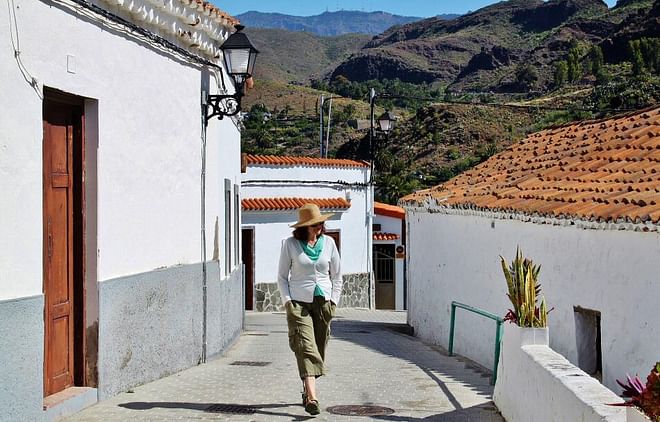
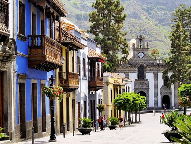
Before you start your hike, it is worth taking a stroll around Tejeda. It is one of the most beautiful towns in Spain. The homestead was founded in the 16th century and there is still a very traditional feel to it.
The first stage of the walk is easy and you will quickly reach La Culata. From there on it becomes more difficult, as there is an increasingly sharp climb through a pine forest. However, you will be rewarded with some spectacular views of Culata gorge, and Roque Nublo is always within sight.
Once again, the vegetation here is lush and thick. It is a perfect spot for birds of prey and you may catch a glimpse of kestrels or buzzards as they soar across the skies in search of food.

