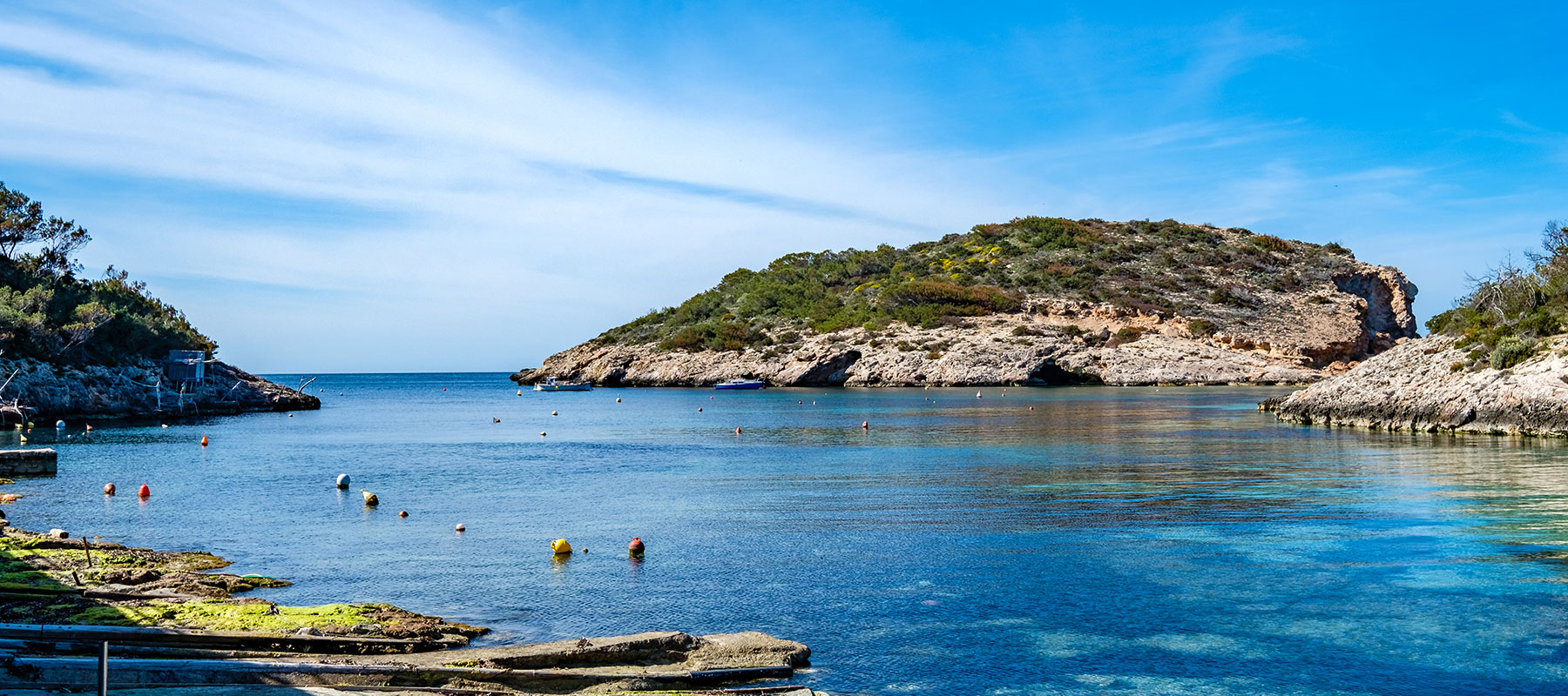
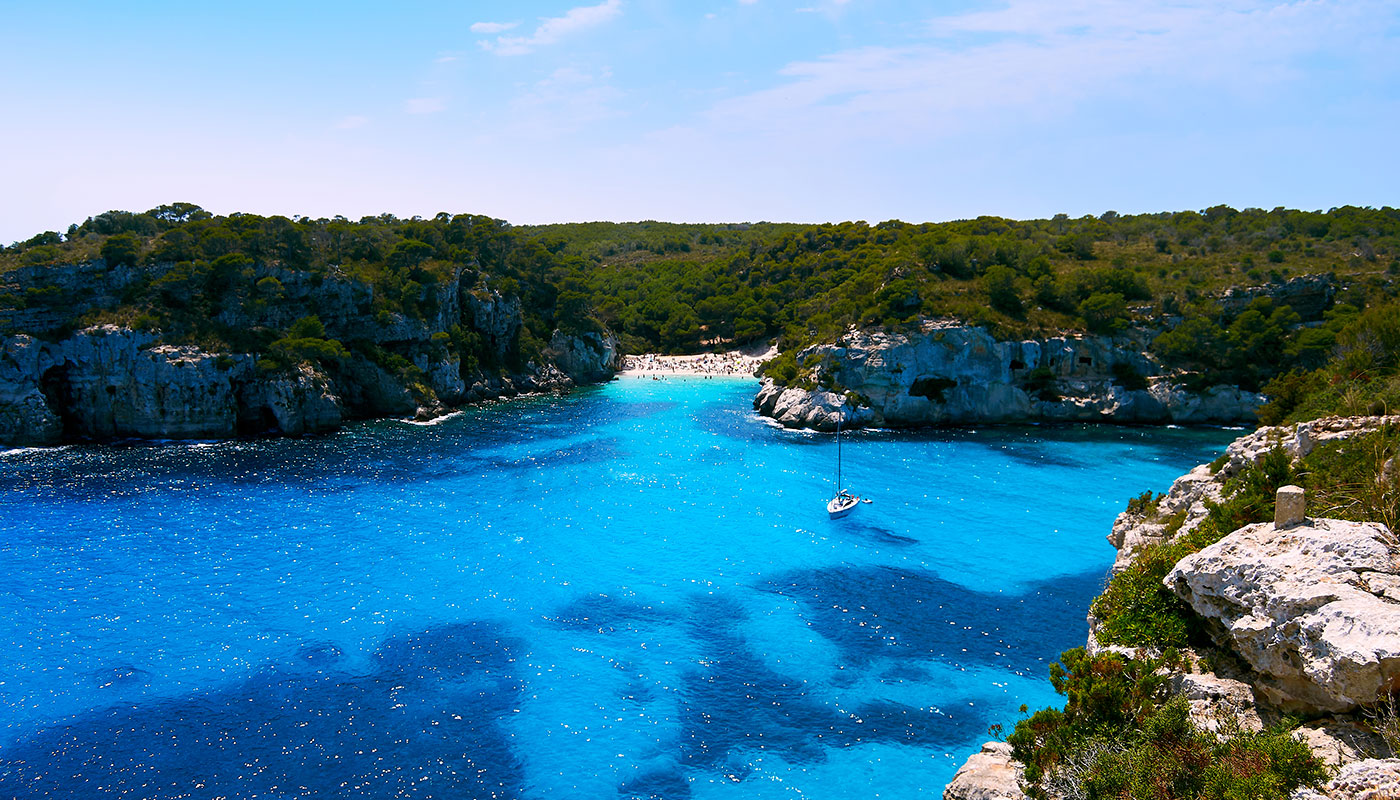
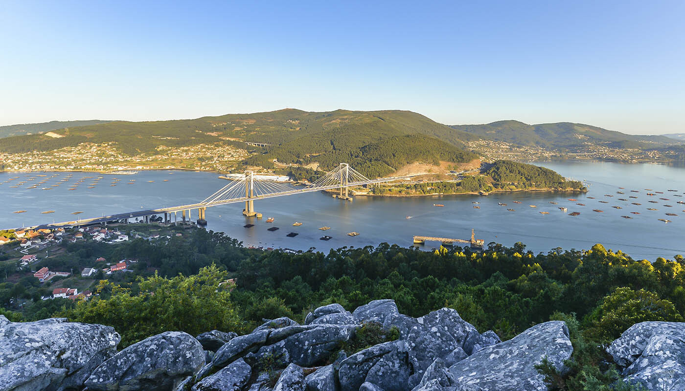
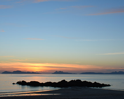
The Rías Baixas is an awe-inspiring region, a wild and twisted coastline, where, since time immemorial, the sea and the land have fought mercilessly against one another. The Galician Atlantic coast, between Finisterre and the Portuguese border is without a doubt a great natural and cultural spectacle offering truly extraordinary experiences.
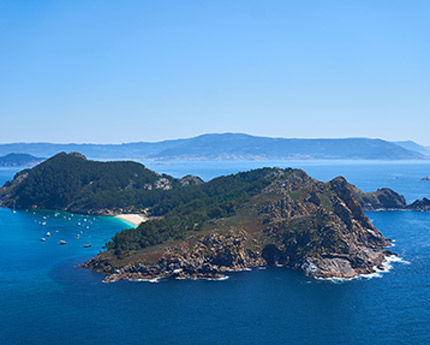
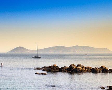
One of the undeniable stars of this great show of beauty is, of course, the Cíes archipelago, known as the ‘Island of the Gods’ by the ancient Romans who sailed the Mare Tenebrosum, or the Sea of Darkness, the imposing Atlantic Ocean. Monteagudo or North Island, Faro or Middle Island and San Martiño or South Island are the the three islands (in addition to various islets) that make up the archipelago situated in the mouth of Vigo estuary. A place where Mother Nature decided to employ all her magic, which is today part of the Atlantic Islands of Galicia Coastal Area National Park.
- Cíes Islands: geological gem, cultural treasure and natural paradise
- Cíes Islands and biodiversity
- Tips for visiting and how to get to the Cíes Islands
- Best beaches in the Cíes Islands
- Hiking trails in the Cíes Islands
Cíes Islands: geological gem, cultural treasure and natural paradise
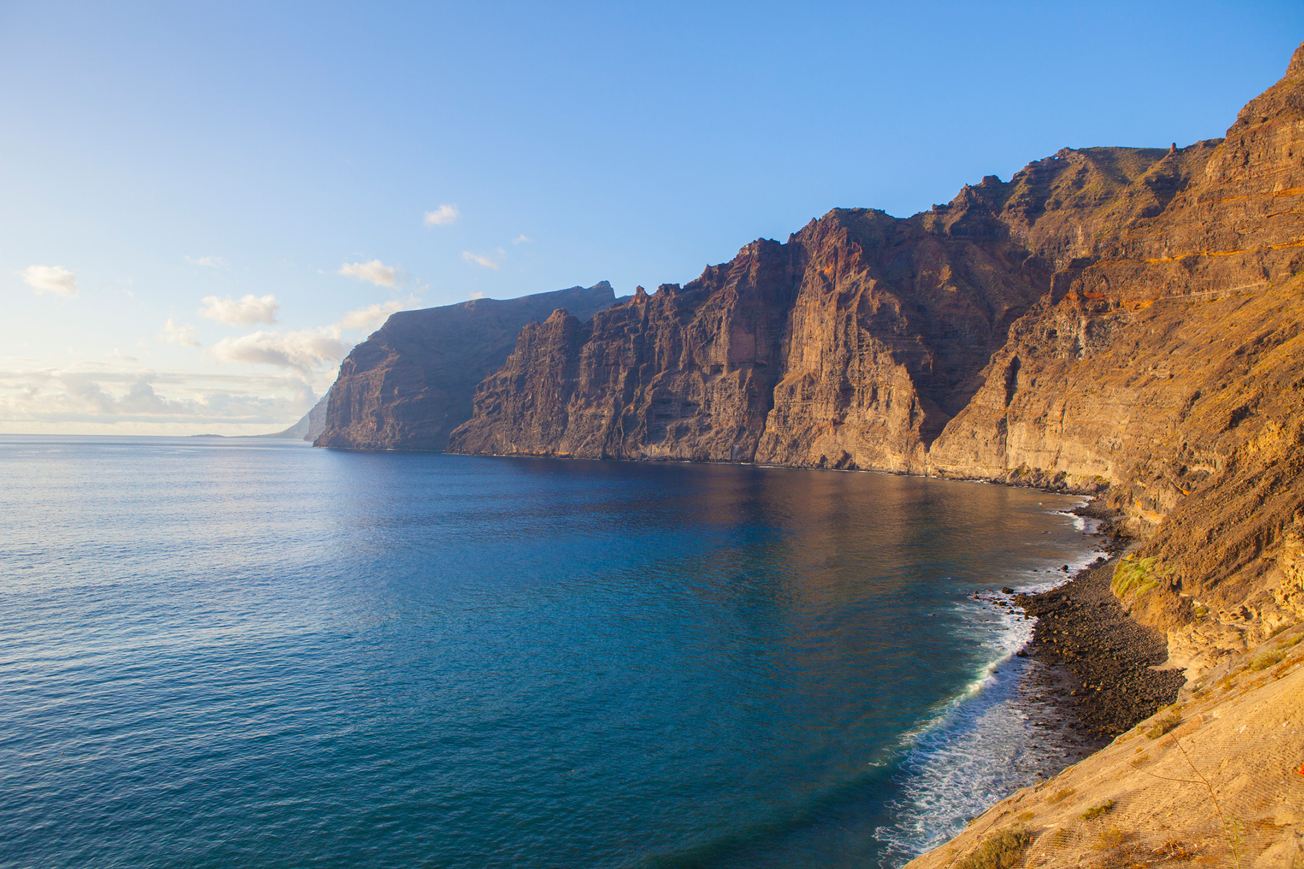
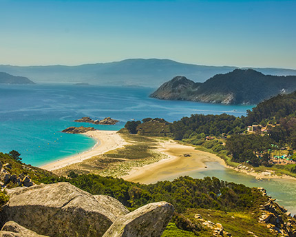
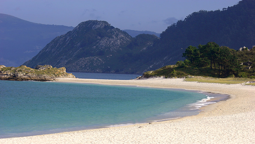
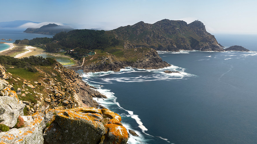
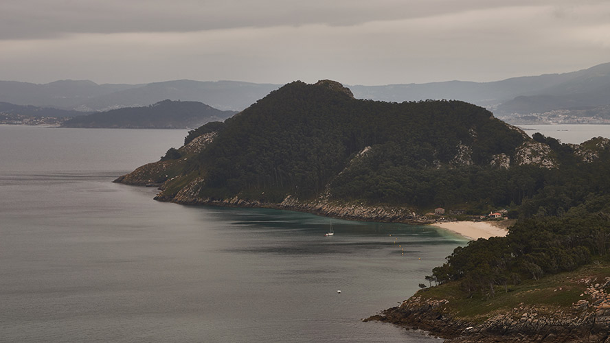
The Cíes Islands have two sides, one looking out onto the immense Atlantic, wild and rocky and lashed by the wind, with cliffs that stand over 150 metres tall. And the eastern side, looking out towards the mainland, which is more protected, covered in vegetation and lined by beautiful beaches. Together, they produce the miracle that has made them one of the most coveted places to visit in Galicia.
In geological terms, the Cíes Islands are part of an underwater mountain chain that runs along the mouths of the Rías Baixas. In fact, the Cíes Islands, together with Ons Island and Sálvora Island, are the peaks of these now-flooded ancient coastal mountain ranges. Unusual granite formations, such as the Pedra da Campá (Faro Island), among others, also point to the archipelago’s geological richness.
In terms of culture and history, although the Cíes Islands are uninhabited, the collection of ruins of the forts, monasteries, salted fish factories, historical lighthouses and warehouses of the Carabineros, an armed force under the monarchy, among other vestiges of the past, hark back to a time when the archipelago was also a key point for human development in the area. The old San Estevo monastery on Middle Island even houses an interesting Visitors’ Centre where you can learn about the unique features of the Cíes Islands such as old stories of pirates and sailors from distant lands that also point to the peculiar nature of the islands.
Cíes Islands and biodiversity
An explosion of life: that is how you could describe these wonderful islands. In and out of the water, in other words, in the depths of the sea and in the dunes, beaches, cliffs and forest and scrub areas, a wide variety of plant and animal species have made the Cíes Islands their home. All kinds of birds, small mammals and reptiles, insects, amphibians and numerous marine species (from barnacles, limpets and mussels to octopuses, velvet crabs, dolphins and turtles) make up the invaluable natural heritage of the islands.
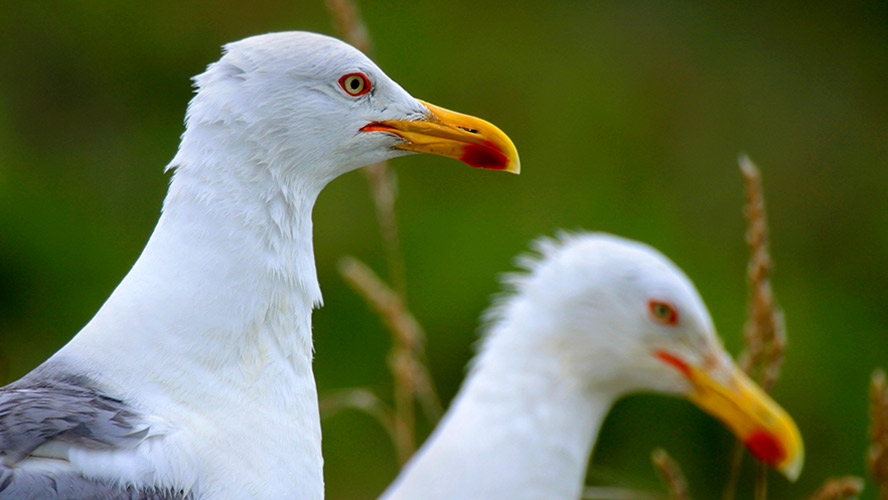
Special mention should also be made of the archipelago’s status as a breeding ground for various bird species and a true paradise for birdwatching. Both the cliffs and the dense tufts of gorse serve as a refuge for yellow-legged gull or European shag hatchlings, among many other species.
Tips for visiting and how to get to the Cíes Islands
Firstly, the most important thing to bear in mind is that to visit the Cíes Islands you must have a permit from the Regional Government of Galicia, even before purchasing your ticket from any of the authorised ferry companies. The process is essentially as follows:
- Request a permit to access the archipelago through the website https://autorizacionillasatlanticas.xunta.gal
- Once you have received the permit, choose an authorised ferry company to reach the archipelago and buy your ticket using the authorisation code included with your permit.
- Once you have completed your purchase, you will receive a new QR code that you must present in order to access the Cíes Islands.
In the peak season (Easter and from 15 May to 15 September), ferry services usually depart from Vigo, Cangas and Baiona with different set timetables. As access is limited to 1,800 daily visitors, requesting a permit is essential. The rest of the year you can only visit the Cíes Islands in groups led by a guide, organised by authorised companies. Groups can be made up of no more than 25 people and daily visitors are limited to between 250 and 450.
This naturally owes to the delicate equilibrium of its sensitive ecosystem, so once you reach the islands it is essential to follow all the rules and indications established by the National Park. For instance, there are no waste bins on the islands, which means visitors must take everything with them. Lighting fires, fishing, bringing animals, making noises that disturb the place’s tranquillity, picking any natural element (shells, flowers, fruit, etc.) and disturbing or feeding the animals is strictly forbidden. Thousands of people visit the Cíes Islands annually and it is up to each and every one to ensure that this extraordinary place continues to preserve its diverse environment.
Best beaches in the Cíes Islands
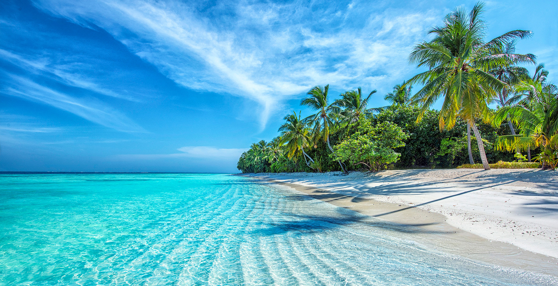
Most of the coastline of the islands is characterised by rocky cliffs that endure, with great stoicism, the constant battering of the waters of the Atlantic. Nevertheless, although they are few and far between, the fine white sandy beaches of the Cíes Islands offer incredible beauty.
- Praia Pequena or Praia de Areiña – Between Punta Muxieiro and the jetty of Rodas beach (entrance point to the islands), this small, charming cove (as its name suggests) is just a taster of the endless beauty of the Cíes Islands.
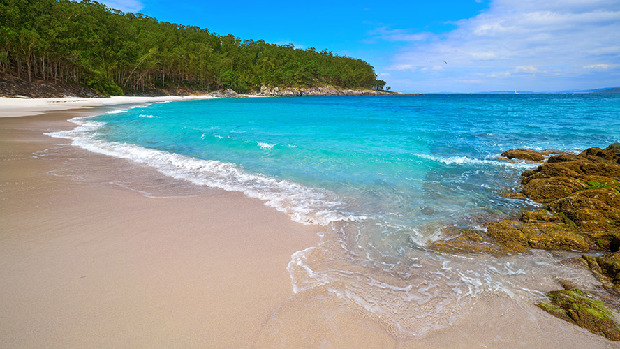
- Praia das Figueiras – Also on Monteagudo Island, a little further north from the jetty, this is the third-longest beach in the Cíes Islands and one of the two on which nudism is common (the other is the small Cantareira cove a bit further to the north).
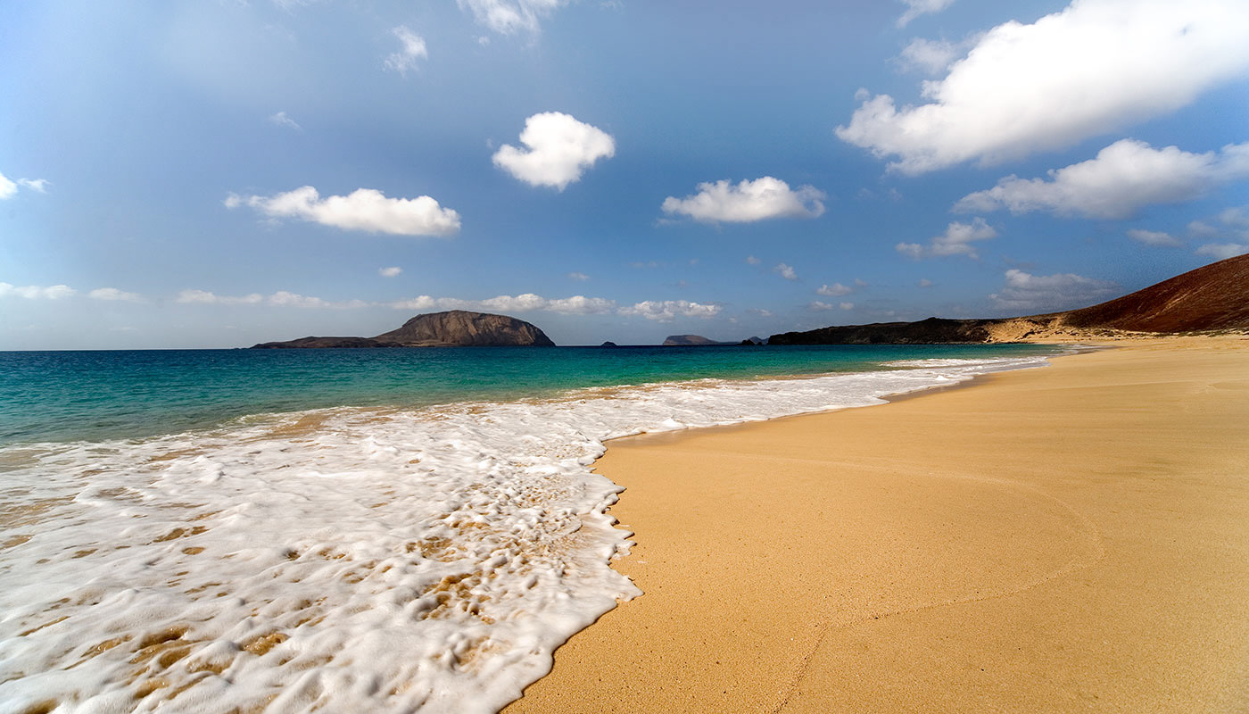
- Praia de Rodas.- In 2007, the British newspaper The Guardian called this long stretch of sand just over one kilometre in length and 60 metres in width the most beautiful beach in the world. And they were not wrong, as Rodas beach is a true wonder of fine white sand and crystalline water. What’s more, the beach also connects Monteagudo and Faro Islands, making it even more special.
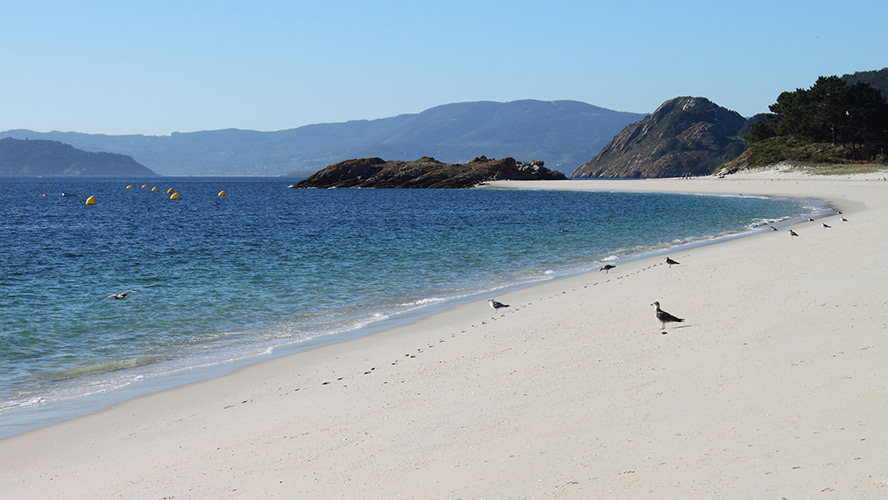
- Praia dos Bolos.- At the southern tip of Rodas beach, between Faro Island and a small islet, is this small beach, almost an extension of the previous one. You can reach it via Rodas beach itself or via a trail that passes close to the island’s old cemetery.
- Praia de Nosa Señora.- Continuing to the south of Faro Island, separated from Dos Bolos beach by a small rocky peninsula, this narrow strip of sand dotted with stones offers crystalline water and magnificent views of the neighbouring San Martiño Island.
- Praia de San Martiño.- On the island of the same name, this spectacular beach is the second longest in the archipelago, just after Rodas beach, although it can only be accessed by private boat (subject to a permit application).
Hiking trails in the Cíes Islands
There are several routes through this marvellous Galician archipelago, but four in particular allow you to explore in the best possible way. All of the routes start from the information office located next to the Rodas jetty (where you can find out more about each one of them, among other information related to the National Park itself) and are clearly marked.
- Faro de Cíes Route – Around 3.5 km in length (one way; it is 7 km in total), the route offers varied scenery, from the long Rodas beach to the cliffs beneath Cíes lighthouse (the highest point that can be visited on the islands, at an altitude of 175 m) and the infinite blue of the Atlantic. The detour to Pedra da Campá also offers beautiful panoramic views of the lake between North Island and Middle Island.
- Faro da Porta Route – The 2.6 km that separate the information office from Faro da Porta offer the gentlest walk (a gradient of around 55 m) and the trail with the closest proximity to the sea in the whole archipelago. A perfect route to observe the lake’s unique ecosystem, Rodas beach and Nosa Señora beach, and the rocky landscape of the A Porta channel, which separates Faro Island and South Island or San Martiño Island.
- Faro do Peito Route – In the opposite direction, towards the north of Monteagudo, this route of just under 2 km (one way, to Faro do Peito) and a gradient of barely 60 m goes along the eastern side of the island offering wonderful views of the Vigo estuary, Costa da Vela, Cabo Home and, at the end, Ons Island.
- Alto do Príncipe Route – Also on North Island, this trail goes from Rodas beach up to the steep cliffs of Alto del Príncipe (111 m altitude). A 1.7-km route (one way) with a gradient of 95 m that invites you to explore one of the archipelago’s peaks and its unique flora and fauna.
There is also the option of signing up in advance (on the National Park website and in some cases directly at the Monteagudo information office) to different guided routes, which are offered to the general public in the summer season. These consist of free interpretative routes that show, in an entertaining and educational way, the key assets of the islands from different perspectives.

