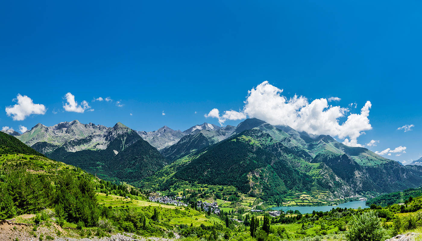
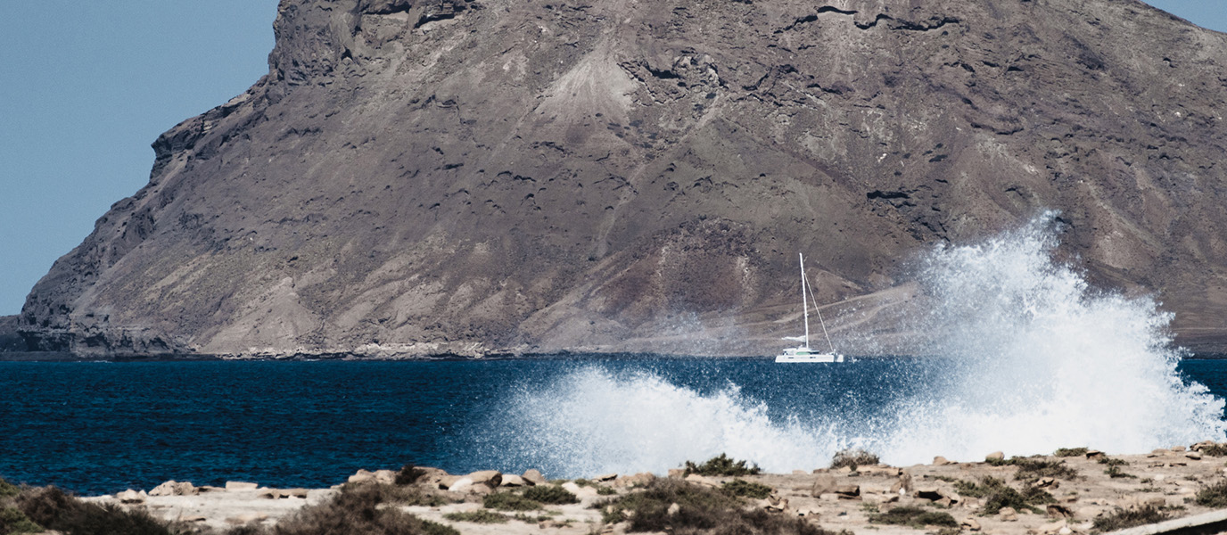
Santiago, the largest of Cabo Verde’s ten islands, is as famous for its beaches as it is for the Serra Malagueta: a mountain range in the northern part of the island punctuated by waterfalls and home to the archipelago’s highest peak. This natural park boasts a series of incredible hiking routes offering wonderful views out to sea.
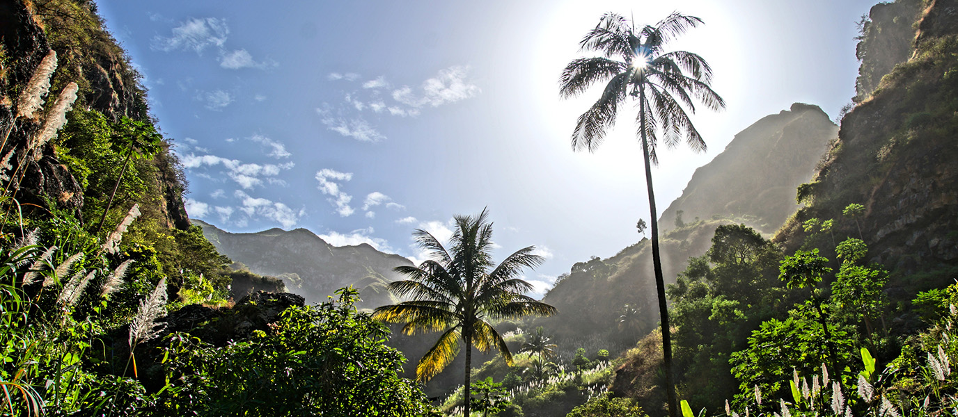
An amazing natural setting: Location, flora and fauna
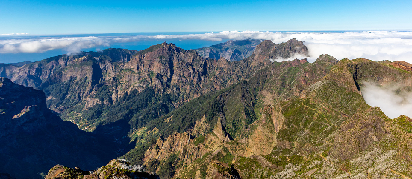
The Serra Malagueta mountain range in northern Santiago was classified as a Natural Park in 2005 due to its rich flora and fauna. It is also home to the island’s highest peak, standing at 1,064 metres above sea level, which offers magnificent views across the island. It is a volcanic massif that serves as a refuge for several endangered indigenous species, that only survive thanks to the protection provided by local authorities.
The Serra Malagueta is home to 124 species of plants, 14 of which are only found in this mountain range. One such example of endangered plant life that only grows in the ‘Serra’ is the carqueja (Limonium lobinii). It is also home to 19 species of birds, 8 of which are in danger of extinction. It is also home to various species of mammals and the only amphibian that resides in Cabo Verde.
It is a unique space with an overwhelming abundance of nature, where every trail is bound to invigorate and energise hikers.
How to get there and other helpful information
The Serra Malagueta is located between the municipalities of Santa Catarina, San Miguel and Tarrafal. Hikers can reach the park’s Information Centre, the starting point for most of the trails that pass through the mountain range, from any of these municipalities.
Before entering the Serra Malagueta, volunteers will explain the important role that this nature reserve plays in conserving the endangered flora and fauna as well as the value of its biodiversity. They will also highlight how conservation projects—conceived to avoid the negative effects of human activity, which is the greatest threat to these natural treasures—have been deployed as nearby villages have grown.
Those looking to enter the natural park will need to purchase a ticket. Keep in mind that the park is home to nothing but natural wonders, and that nothing is precisely what you should leave behind. With this in mind, we recommend taking enough water for your hike, some food and a bag to collect any waste that you produce along the way.
The terrain is rocky, so you’ll need to wear appropriate footwear—even for the simplest of trails. We also recommend wearing comfortable trousers and bringing an extra layer of clothing, since even on sunny days it can be chilly at the highest points.
Recommended hiking routes
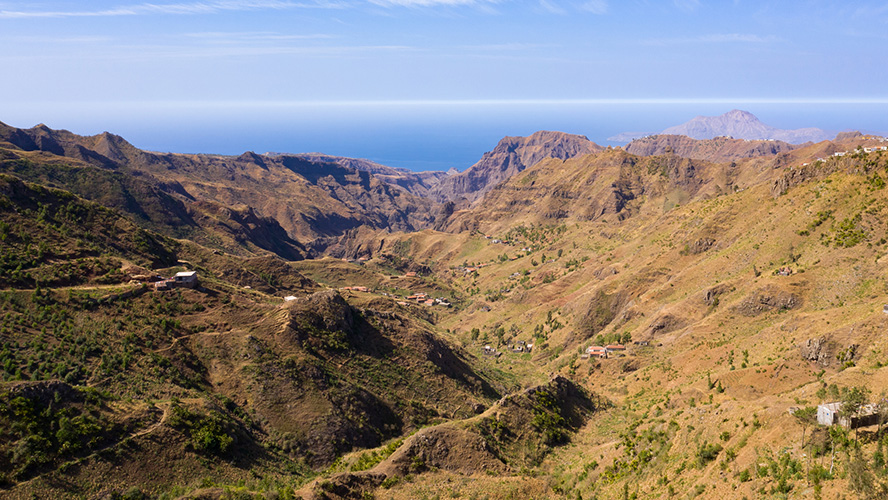
You can choose from several trails that allow you to admire all of the Serra Malagueta’s main attractions, including unique wildlife, incredible Atlantic views and charming nearby villages. These trails also give you the chance to appreciate the astonishing beauty of this natural space, where surprises are found around every corner.
One of the most popular routes leads to the Vale Principal, where you can discover mountainside villages and experience local traditions such as cereal grinding and the management of fruit orchards, which are teeming with fruit such as avocados and bananas and have water running down their slopes.
On some of the organised outings along these trails, you’ll have the opportunity to enjoy lunch in the house of an indigenous family in a local village, such as Mato Dento. This is a unique opportunity to sample some of the most typical dishes of the area. In the larger villages along the way, you’ll also be able to find several restaurants serving delicious set menus, where you can recharge your batteries before getting back on the road.
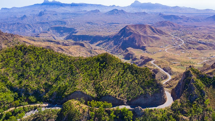
Another highlight of these trails is the Presa Principal dam, which was built by local families on a site surrounded by steep, towering slopes to collect water for irrigation. From this tranquil spot offering wonderful views, you can follow any of the trails that zigzag their way down the slopes to reveal the hidden secrets of this stretch of the mountain range.
Another of the most popular trails is the relatively flat Circular Route which leads to the Malagueta Peak. This is the highest point in the mountain range, standing at more than 1,060 metres above sea level. The views offered from this part of the Serra Malagueta are truly incredible.

