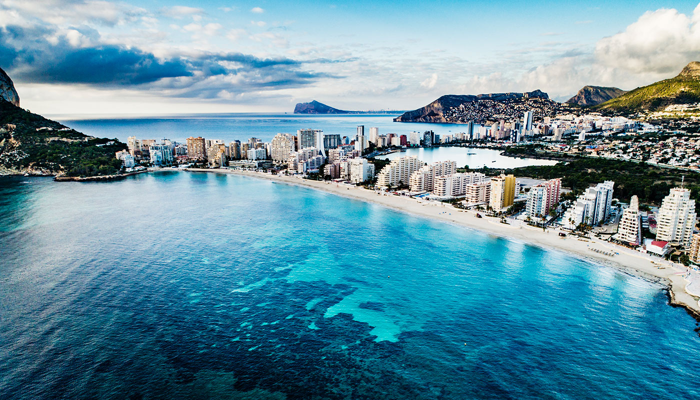
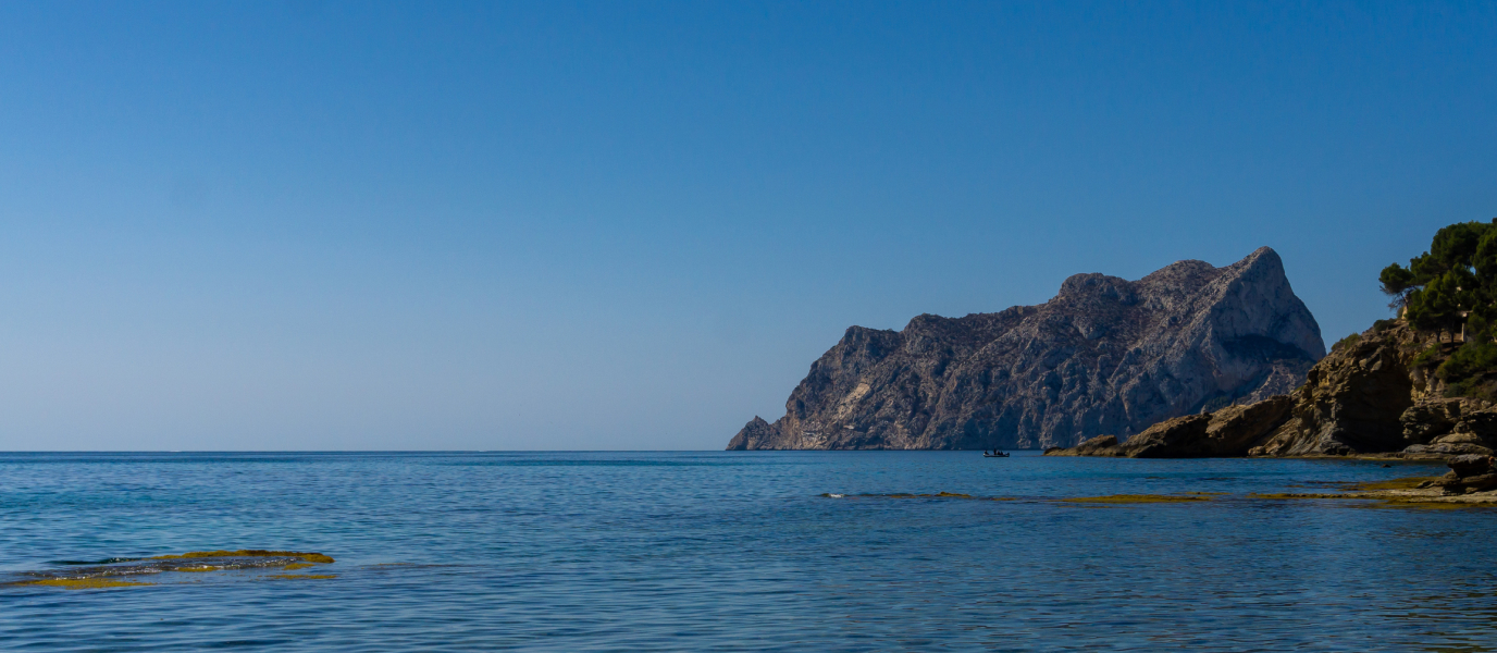
If you’ve seen a photo of the Costa Blanca, the Penyal d’Ifac will almost certainly have been in the foreground. Millions of years ago this gigantic promontory broke away from the mainland due to shifting tectonic plates and rolled into its current position. It’s a 337 m high monolith stranded off the coast of Calpe with vertical walls that soar 300 m upwards. The rock has 40 climbing routes making it a climbers’ paradise.
From the summit you can see the island of Formentera and the cape of Santa Pola, and the rock appears to have been inhabited from the 3rd or 4th centuries B.C. onwards. The Penyal d’Ifac was a strategic point thanks to its wide open views and today you can visit the remains left behind by its ancient inhabitants, especially the 13th century Pobla d’Ifac site. Many of the viewpoints that you can enjoy today, such as the Carabineros viewpoint, were built on top of this town’s ancient walls.
However, the Penyal d’Ifac’s greatest hidden treasure is the more than 300 varieties of plants and 80 bird species that call it home, and it even has two flora micro-reserves. Its waters contain tunnels, arches and galleries created by collapsing rocks that create a highly rich natural reef that’s idyllic for scuba diving and snorkelling — what more could you ask for?
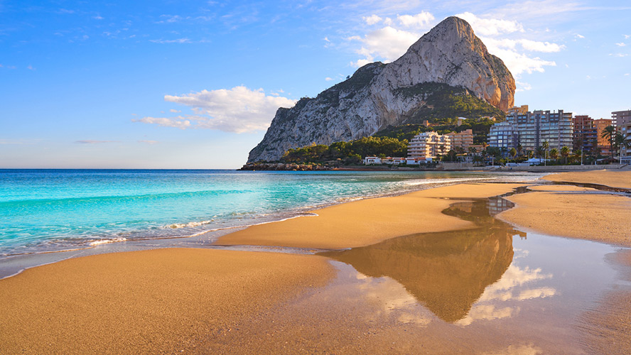
The Penyal d’Ifac: the great icon of Calpe
The Penyal d’Ifac is a particularly rare geological phenomenon: an olistolith. That means it is land that has been pushed up above sea level to a great height by tectonic plates rubbing against each other; olistoliths can sometimes be kilometres high. Here, a section of this rocky crust broke off and rolled away alone, ending up on top of much younger rocks. Sand and other sediment gradually settled on the isthmus, connecting the rock and its island to the mainland.
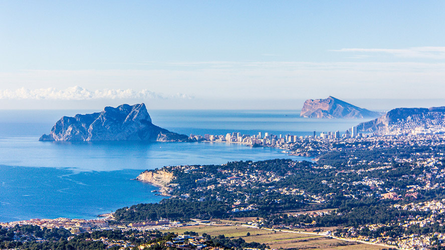
As far as we know, Iberian people inhabited the north side from the 3rd or 4th centuries B.C. onwards. Later, the Romans came to the isthmus to make use of the nearby salt mine and Los Baños de la Reina fishery, a place that was given its name in later years by Christians who believed that a beautiful Moorish queen bathed there.
Admiral Roger de Lluría of the Crown of Aragon was responsible for founding the fortified town of Pobla d’Ifac in 1298. However, the town was destroyed in 1359 during the war between Castile and Aragon and the area was abandoned at the end of the same century. The Penyal d’Ifac was auctioned off in the 19th century and Vicente Paris, an Alicante resident, made it part of his lands. He used it as a modest second home and it was his idea to use dynamite to create the tunnel that today leads to the peak of this inaccessible rock.
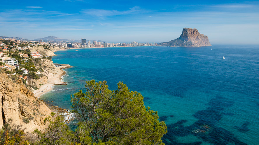
Finally, it’s important to mention that the Penyal d’Ifac is on the UNESCO World Heritage Site waiting list thanks to one exceptional fact: during its short existence, the town of Pobla was governed by two women, a truly remarkable feat in the Middle Ages. Saurina de Entez, Duchess of Terranova and wife of Admiral Roger de Lluría, took charge of the town when her husband went overseas to fight in the war. And until its destruction, she and her daughter Margarita de Lluria, her heir, successfully managed and utilized the natural wealth of the region. Almost seven hundred years later, these two women are still pioneers for most of the world.
How to climb the Penyal d’Ifac
The trail to the summit of the Penyal d’Ifac is divided into two parts; the first is easy and the second moderately difficult, and each can be completed separately. The path is clearly signposted — details of the main trail to the summit are given below but there are also other trails that start from Fossa beach or that pass the nearby Roman salt mines. In fact, you can even join a guided night climb to the summit; the night trail takes two hours and starts at about 8.30 pm so you can watch the magnificent sunset from the sides of the rock before having dinner at the peak afterwards.
Total distance: 4.6 km circular route
Duration: Approx. 2.5 hours
Difficulty: easy/ moderate. The trail is clearly signposted.
First part:
The first ascent is straightforward and you can easily do it in trainers. This section has a couple of viewpoints, and you’ll see the Pobla d’Ifac site, the Penyal d’Ifac Interpretation Centre and the remains of the Iberian village. The flora and fauna in this area is some of the richest and most varied to be found along the whole route.
Duration: 45 min/1 hour
Difficulty: easy
Second part:
Shortly after completing the first section, you’ll reach the tunnel that leads to the summit. The trail has rope hand-railings that can be used as a safety measure as you climb up the rather worn-out steps that have been carved into the rock. It can be quite slippery and from this point onwards you’ll need to wear suitable mountain-trekking footwear.
The next section has abundant plant life (fan palm, lavender, pine trees and Mediterranean plants) and is much narrower than the first. Progress becomes increasingly difficult until the trail connects with the final stretch of the journey. This last part involves a difficult climb across rocks and along paths that border ravines. You’ll pass the Carabineros viewpoint before you reach the summit and once you’re at the very top, the spectacular views will make all your hard work more than worthwhile.
Duration: 1.25 hours/1.5 hours
Difficulty: Moderate
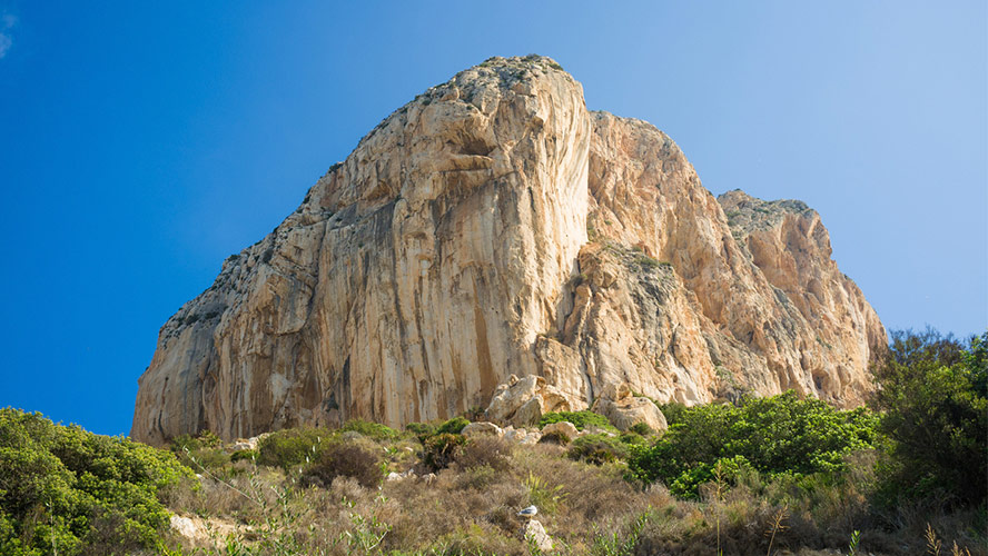
What to see on the Penyal d’Ifac
- Site: the main and best preserved archaeological site is the medieval Pobla d’Ifac town (still being excavated). It stood for around 100 years and its walls once enclosed a church, storage buildings, houses and residences for the governors. It covered around 70,000 m2 on the north side of the rock and the walls were over 800 m long with 11 defensive towers jointed to it by ramparts.
- Penyal d’Ifac Interpretation Centre and Nature Classroom: here you can enjoy a permanent exhibition and video about the Penyal and its ecosystem. There is also a teaching room that is normally used by schoolchildren with information about the local flora and fauna. Since 2018 there have also been plans to include an exhibition in the centre showing the history of the medieval Pobla with all the new discoveries that are unearthed.
- Carabineros viewpoint and other viewpoints: on a clear day you can see the coast of Ibiza and Formentera from the Caribineros viewpoint. If you’ve gone through the tunnel to the peak, stop here for a moment to enjoy the views before heading on to the top. If you’re not going that far, there are two other viewpoints along the trail before you enter the tunnel: the Poniente viewpoint and the Botánic de Cavanilles viewpoint. Both are great places to appreciate the beauty of the coastline.
- Flora and fauna: you’ll be surrounded by aromatic plants such as rosemary, thyme and lavender along most of the way. There are also plants that are indigenous to Alicante, such as Silene hifacensis. The first part of the trail has aloes, yucca and neotropical plants like the agave. You’ll also see large shrubs such as mastic trees, black hawthorn and fan palm (the only palm native to Europe) as you hike the trail. Important bird species include the Eleonora’s falcon and double-crested cormorant. The rocks in the sea at the base are home to Mediterranean coral, lichen and algae, indicating that the reserve is healthy and thriving.

