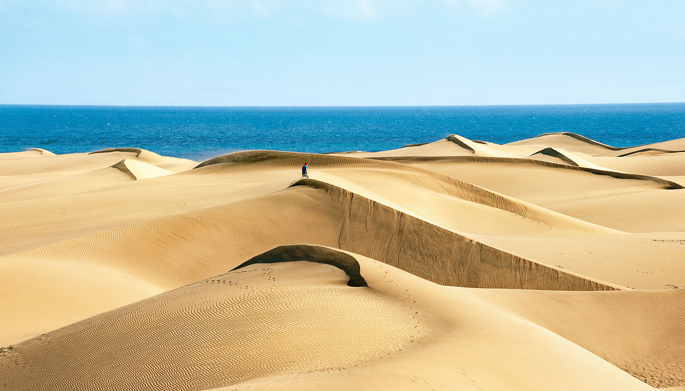
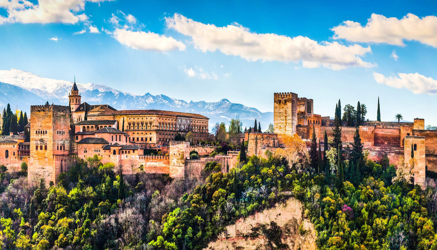
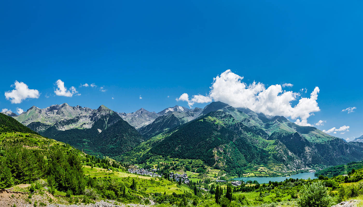
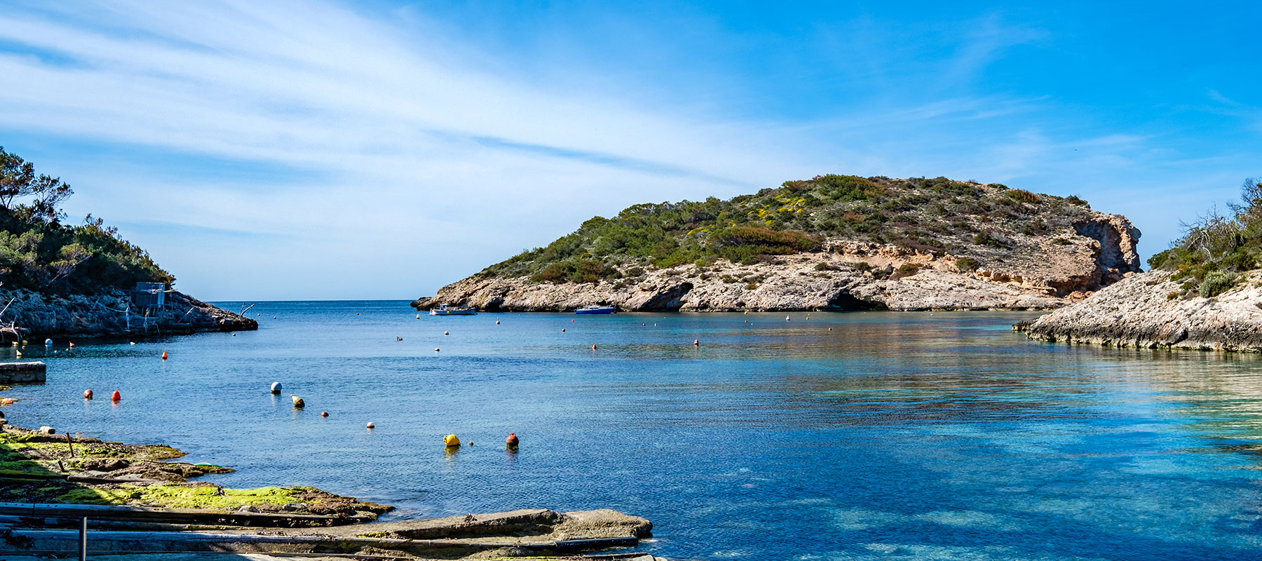
The rugged mountain ranges found here mean that there are countless hiking routes in Alicante that will surprise even the most experienced of hikers.
However, this doesn’t mean that you have to be a skilled mountain climber to enjoy the best nature trails in the province. There are many routes that due to their accessibility are perfect to travel on with family or with friends.
We’ll suggest the most interesting excursions for you to do in Alicante, specifying their level of difficulty and the time in which they can roughly be completed.
Montcabrer: a favoured route in Sierra de Mariola
At 1,390 metres, the crest of Montcabrer is the third highest peak in the Valencian Community. It is located on Sierra de Mariola and you can find the town of Alcoy on its southern slope. To climb the Moncabrer there are several routes: two main ones, which are the roads that leave from Concentaina, on the east side of the mountain, and the one that starts from Agres, to the north.
The hiking route from Concentaina to Montcabrer is the shortest, 11 kilometres. It departs from the hermitage of San Cristófol. There are many fountains along this route, which passes through typical Mediterranean mountain vegetation.
The other route is the hiking route from Agres to the Moncabrer, which has a distance of 16 kilometres. It begins at the sanctuary of Mare de Déu de Agres, and you start by walking along a path full of majestic trees. On the way you can see many caves that were used to store snow and ice.
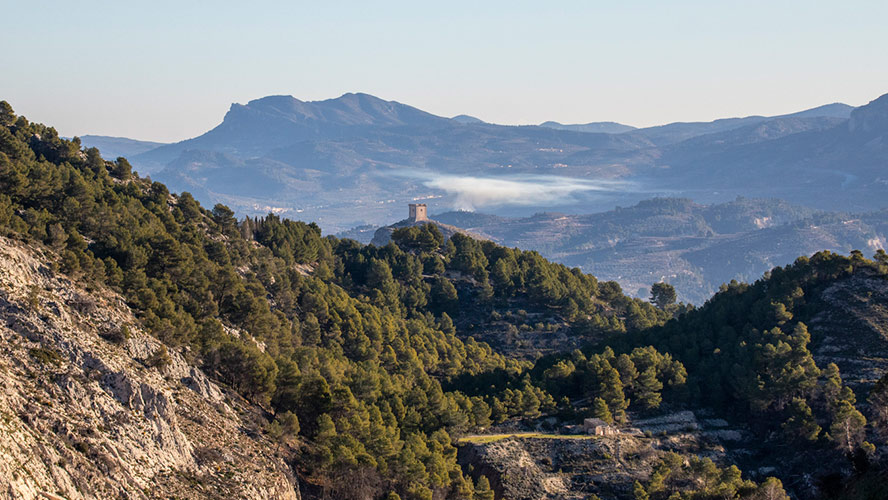
The two routes, which are both circular, take about 5 hours and you have to climb a rise of about 900 metres, with this having a medium to high difficulty.
Sierra de Bernia
Closer to the coast is Sierra de Bernia. Several hiking routes start from this place. Some of the best known are those that come from Fuentes del Algar, near the town of Callosa de Ensarriá (Callosa d’en Sarrià, in Valencian).
In the fountains area there is a car park where you can leave your vehicle. A few steps away from them are the ruins of the Fortress of Bernia. From there, the more experienced hikers can start a demanding route to the top of the mountain.
This route, which is quite difficult, takes about seven hours and you must keep in mind that on this route you would have to undertake some simple climbing sections.
Routes through Serra Gelada or Sierra Helada
Bordering the coast of Benidorm, Serra Gelada (Sierra Helada, in Spanish) is the perfect place for those who cannot decide between the sea and the mountains. It is a natural park of 5,600 hectares in size that has impressive cliffs that are over 300 metres high as well as incredible views.
There are many routes, but to counterbalance the previous suggestion of Sierra de Bernia, we recommend two very easy routes through Serra Gelada: the Lighthouse route, which starts in the town of Albir, and the Cavall route, which starts in Benidorm. Both hiking routes cover a distance of 2.6 kilometres and can be covered either on foot or by bike.
Two other slightly more demanding excursions, as they cover a rise of some 300 metres, but with the reward of unbeatable views of the coast, are the routes of Alt del Gobernador and Mirador de la Creu. They both cover a distance of only 2 kilometres.
Forat de Bernia
On the easternmost side of Sierra de Bernia there is a tunnel that seems to have natural origins but is in fact man-made. This is the Forat de Bernia, a passageway about 20 metres long that connects the north face of the mountain range with the south face.
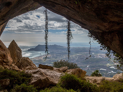
The route to pass the Forat usually begins in Les Cases de Bernia, a district of the town of Jalón. To get there from, for example, Calpe, you must drive north on the N-332 road and then take a detour in the town of Pinós to follow the CV-749 road to Les Cases de Bernia.
In the town there is a sign indicating the route to the Forat de Bernia. It is a route of about 11 kilometres. The first hour, uphill, is the hardest, but is compensated by the beautiful views of Marina Alta, with the San Antonio Cape and the coast of Jávea. Then there is the passageway dug into the ground, a crossing in which you will have crouch down very low in some parts. Once you head out to the other side you will see the incredible views of the whole Marina Baixa with Benidorm in the background. From there you will descend, pass through an area of rock paintings, the ruins of a fort from the time of Philip II and return to the starting point.
Montgó Natural Park
More stunning views are offered by the Montgó mountain range, in the natural park that shares the same name, between Denia and Jávea. To start the hiking route to the top you must go to the entrance of the park, for example from the park’s interpretation centre in the public park Bosc de Diana, on Camí Sant Joan 1 (in the town of Denia).
Once in the park, it gradually ascends, passing through remote caves and rocky hills covered with bushes and flowers, until it reaches the Creueta de Cima, at an altitude of 753 metres. It is an easy route that takes about 3 hours to complete. The view from the top is unparalleled.
Guadalest Valley
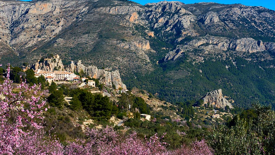
Surrounded by the mountain ranges of Xortá, Serrella and Aitana, the Guadalest valley is a spot of about 18 kilometres long with an amazing biodiversity of plants and animals. In the valley there are several towns like Confrides, Abdet, Benifato, Beniardá, Benimantell and Guadalest. The CV-70 road takes us to the area from Benidorm, although a beautiful road, the CV-755 runs along the whole valley from the coastal town of Altea.
The area has waterfalls and natural pools and a huge turquoise blue reservoir in the vicinity of Guadalest. It is possible to practise both dry and aquatic canyoning. One of the most beautiful ravines is the Mela ravine. Hiking routes are available for all levels both in the valley and in the surrounding mountains. There are also cycling routes and walls very well suited for climbing. As one of the most important areas of saffron milk cap production in Spain, mycological routes can also be taken in season.
Source of the River Vinalopó
The Vinalopó, with a distance of 81 kilometres, is one of the most important rivers running through the province of Alicante. Its source is in Sierra de Mariola, near Alcoy. In order to get to know this beautiful area at the beginning of the riverbed, there is the Water route, a very easy excursion of a little more than 6 kilometres along a flat path.
The path starts at the Mas d’Ull de Canals farmhouse, near the hostel of the same name. To get there, take the CV-795 road that connects Alcoy with the town of Bañeres.
Although you won’t see much water during the first part of the tour, soon after that the mighty waterfall of Toll Blau appears. To our surprise, along a path with increasingly lush vegetation, the castle of Vinalopó emerges. Nearby, we reach the Font de la Coveta, a magical place that is the exact point where the first springs of the Vinalopó River flow.
Sierra del Maigmó
Sierra del Maigmó is located between the municipalities of Tibi, Castalla, Agost and Petrer, and separates the regions of Medio Vinalopó, to the west, and Hoya de Castalla, to the east. It has places like the well-known Balcony of Alicante, which offers incredible views of the whole province.
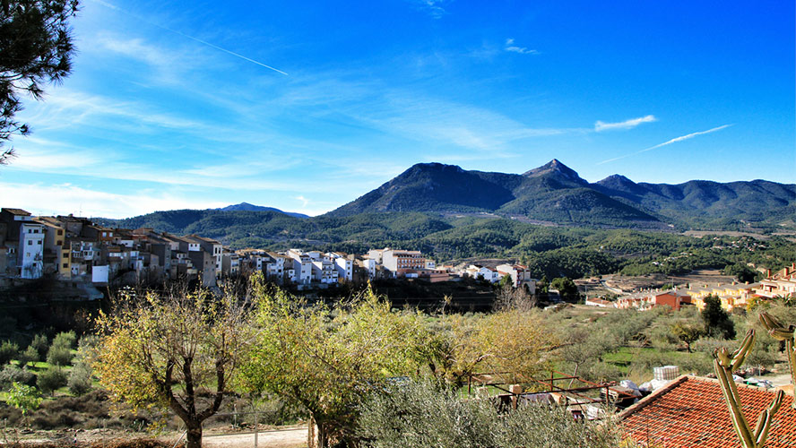
To climb to its summit, Maigmó, at 1,300 metres, the best place to start is the Collado del Portell, a very popular mountain stage in the Vuelta a España, which can be reached from the towns of Castalla or Petrer (CV-817).
The excursion to the summit, which is well signposted, covers about 12 kilometres with relative ease and takes about 3 hours.

