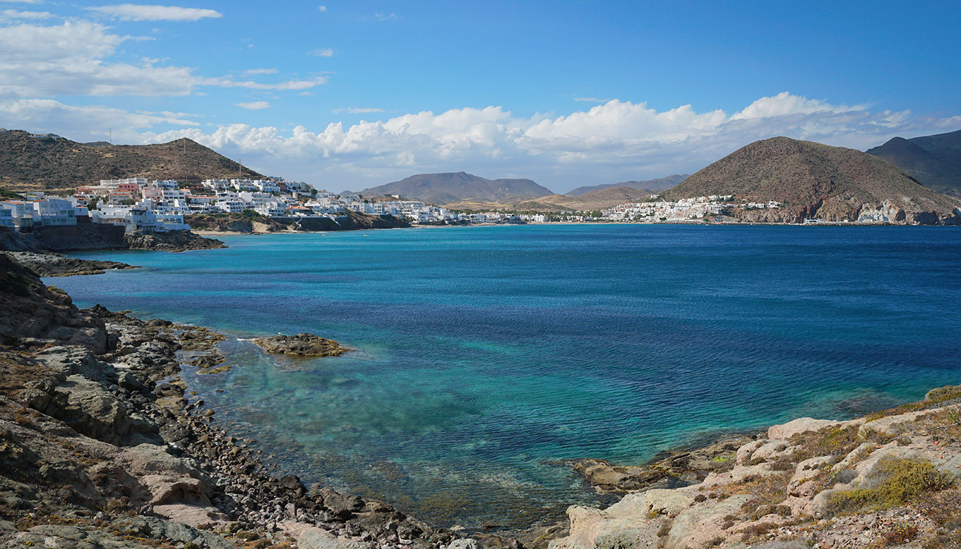
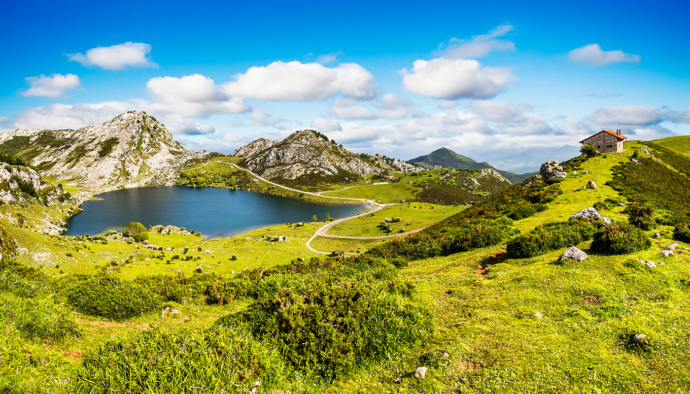
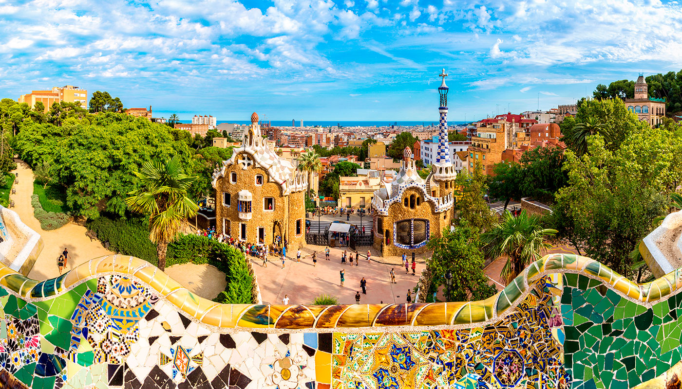
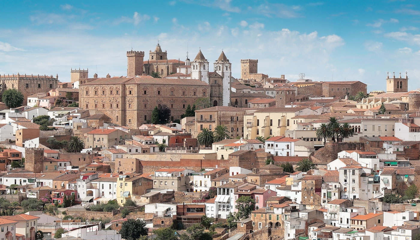
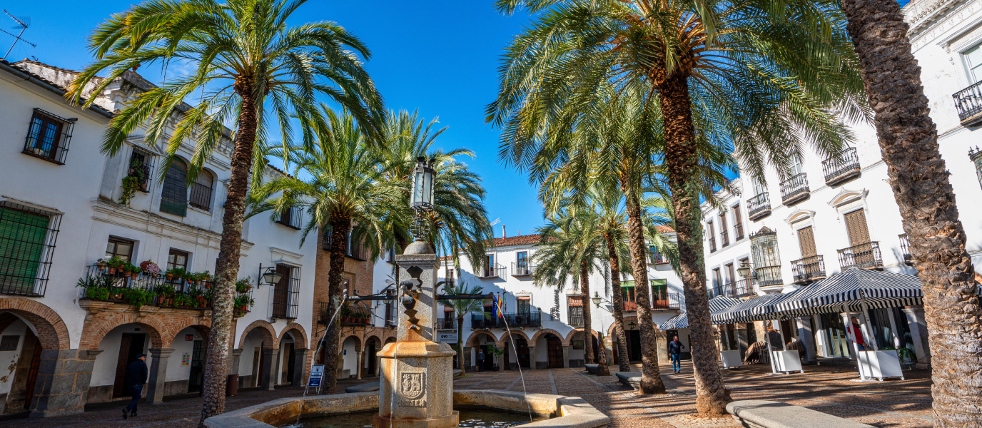
You can’t go wrong if you decide to take a trip around Extremadura. It’s an extensive part of Spain (41,000 square km to be precise) worth exploring in greater detail.
If you like hiking, you have endless options. The Vía de la Plata passes through this autonomous community on its way from Sevilla to Oviedo, much of it coinciding with one branch of the famed Camino de Santiago. The trails through the mountains and pastureland of Extremadura offer the chance to really get to know the spectacular scenery in the provinces of Cáceres and Badajoz.
Trails: Rey Jayón and Isabel la Católica
The Rey Jayón trail in the Mina de la Jayona goes through beautiful surroundings where man, geology and biology have worked together to create what is now a Natural Monument. This 22-km route through the Campiña Sur region of Badajoz, near the Sierra Morena, takes you to an ancient iron ore mine that was abandoned in the 1920s.
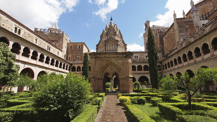
Extremadura has some great historical trails, among them the Ruta de Isabel la Católica, named after Queen Isabella I of Castile and taking in Cáceres, Trujillo (link: Trujillo), Madrigalejo and the Monasterio de Guadalupe (link: Monasterio de Guadalupe), and the Ruta de Carlos V.
Ruta de Carlos V
This trail is the final stage of a much longer route stretching all the way from Laredo (Cantabria) to Jarandilla de la Vera.
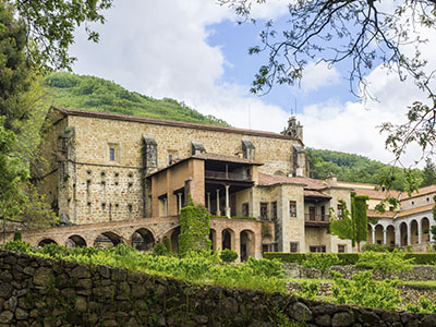
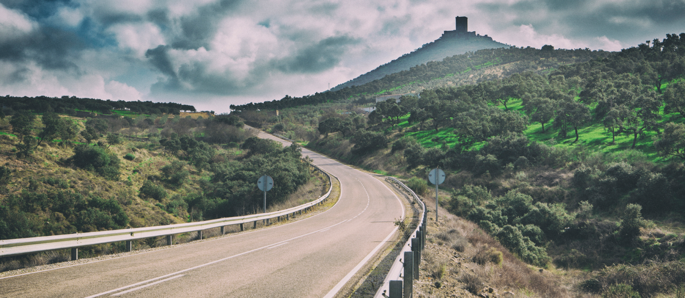
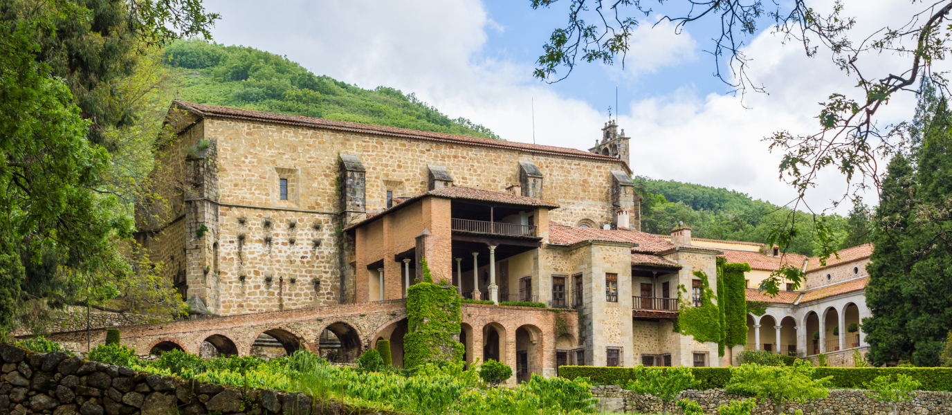
It follows the path taken by Emperor Charles V on his final journey through Spain following his abdication in 1556 and travels to the Monasterio de Yuste, where he would see out the rest of his days. The 40-kilometre stretch through Extremadura begins at the mountain pass called the Puerto de Tornavacas. If you’re driving, be prepared to navigate winding mountain roads. It’s a challenging hike on foot, so give yourself at least two days. The difference in altitude around the pass called the Collado de las Yeguas can be as much as 1,400 metres.
The road takes you through traditional mountain towns and villages such as Piornal (the highest settlement in Extremadura and one of the highest in Spain), Pasarón, Jaraíz, Aldeanueva de la Vera and Jarandilla.
Charles V stayed in the Castillo de los Condes de Oropesa in Jarandilla while the palatial annex to the Monasterio de Yuste was being built. It was there where he died, in September 1558, two years after setting out on the journey now remembered by this trail through Extremadura.
Hikes in Monfragüe and other regions of Extremadura
The Carlos V trail is a great choice for hikers and mountain bikers but Extremadura has others worth a look too. Here are some of the best:
- Ruta del Camino Real:
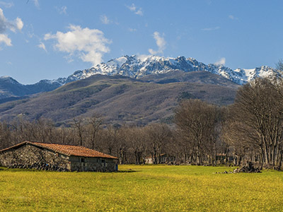
This trail links Navaconcejo and Piornal, through the scenic Jerte Valley (link: Cherry blossom) between the rivers that flow down from the Sierra de Gredos, north of Cáceres. It’s a 10-kilometre, medium-difficulty route, particularly the final climb to Piornal.
- Los Castaños y Chorrera de Calabazas:
This easy 8-kilometre route is also in the province of Cáceres. It takes you to Castañar de Ibor and a geologically important cave that you can visit if you first register with the Environment Department of the Government of Extremadura.
- Rutas por Monfragüe:
This national park (link: Parque Nacional de Monfragüe) has many beautiful and interesting trails. One of the best places is the Salto del Gitano viewpoint over a meander of the River Tajo.
- La Ruta del Agua:
This hike through Mérida (link: Mérida) has the remains of Roman water storage constructions from the colony of Emerita Augusta. It’s an easy 15-kilometre route.
Ruta Garganta de los Infiernos
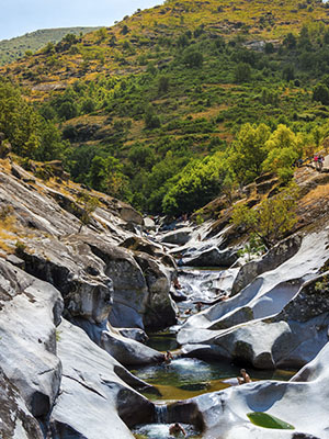
One of the most famous and gratifying routes through Extremadura runs from Jerte to the Garganta de los Infiernos. It’s also known as the Ruta de los Pilones and it’s a 6-kilometre round trip graded easy.
People flock here in summer to bathe in the pilones or giant’s kettle formations – natural pools carved over millennia by the River Jerte. The dense forest is home to numerous plant, mushroom and animal species. This zone is actually a Nature Reserve and therefore enjoys a certain level of environmental protection. If you’re travelling with friends to Cáceres (link: Cáceres with friends), add this place to your list.
The name Garganta de los Infiernos or Hell’s Gorge is something of a contradiction given the incredible beauty of the place. It may come from the fact that the riverbed is made from volcanic rock, revealed millions of years ago after the materials covering them were eroded.
Other trails and routes in Cáceres
The province of Cáceres is a mecca for hikers and home to some of the best trails in all of Extremadura. Here are a few more to consider when planning your trip into nature:
- Camino de los Descubridores:
A 133-kilometre trail to be split (obviously) over several days. It starts in the city of Cáceres and ends in Guadalupe, taking in the Sierra de las Fuentes as well as La Cumbre, Trujillo, Madroñera, Garciaz and Berzocana, among other places.
- Hacia Casas del Miedo:
This one also starts in the capital of the province. It’s an easy route that takes around 2 hours to complete. You’ll reach ruined houses next to the ancient Valdeflores mine.
- Cerro del Milano:
Starting in Cáceres, this circular 14-kilometre route takes around three hours to complete. You’ll climb the 543-metre Milano hill, from which you’ll get great views over Cáceres and the wider area.
- Hacia el embalse de Alcántara:
A medium-high difficulty trail linking the city of Cáceres to the Alcántara reservoir. You’ll walk 35 km across pastureland and hills, and through places such as Oliva and Caparra.

