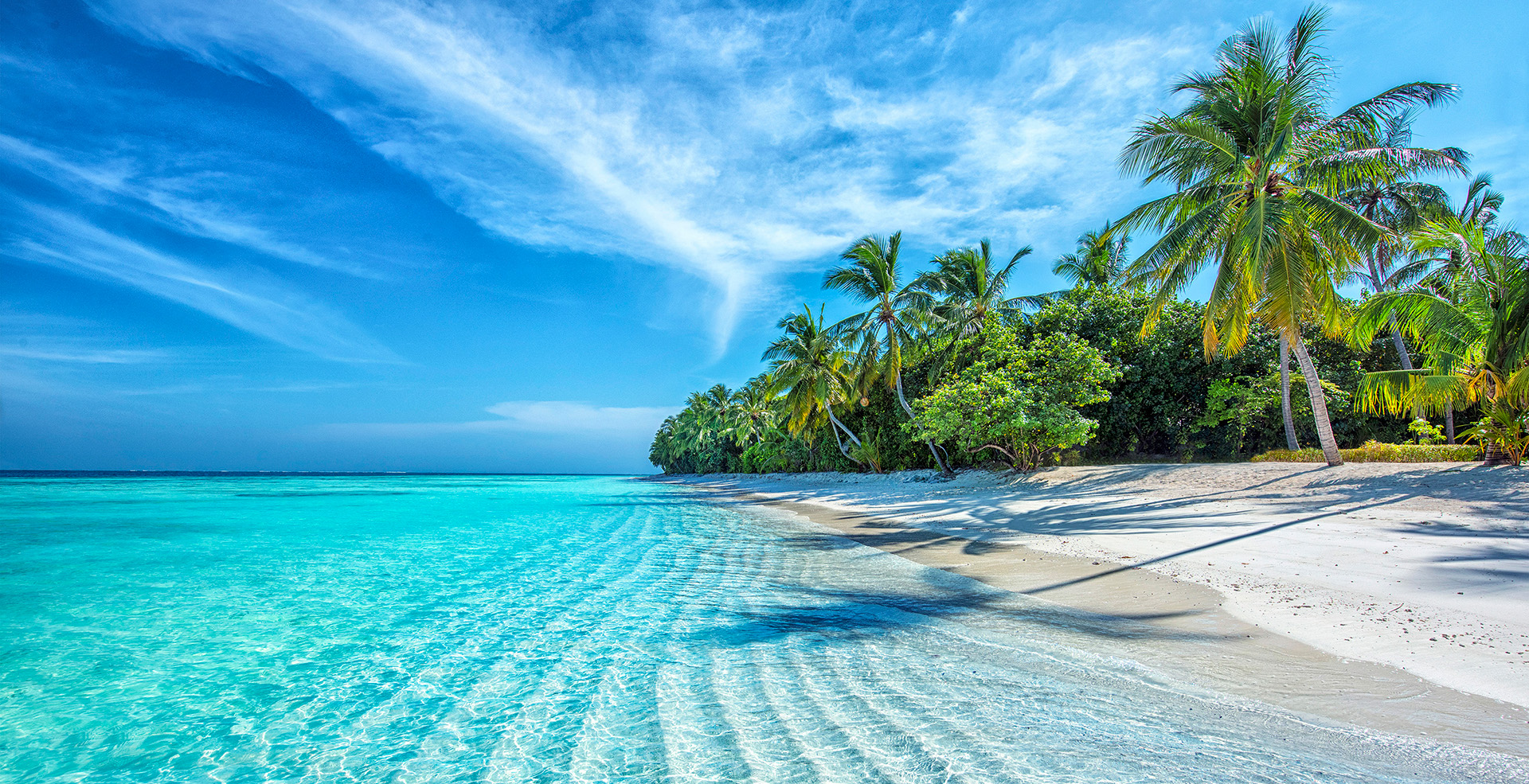
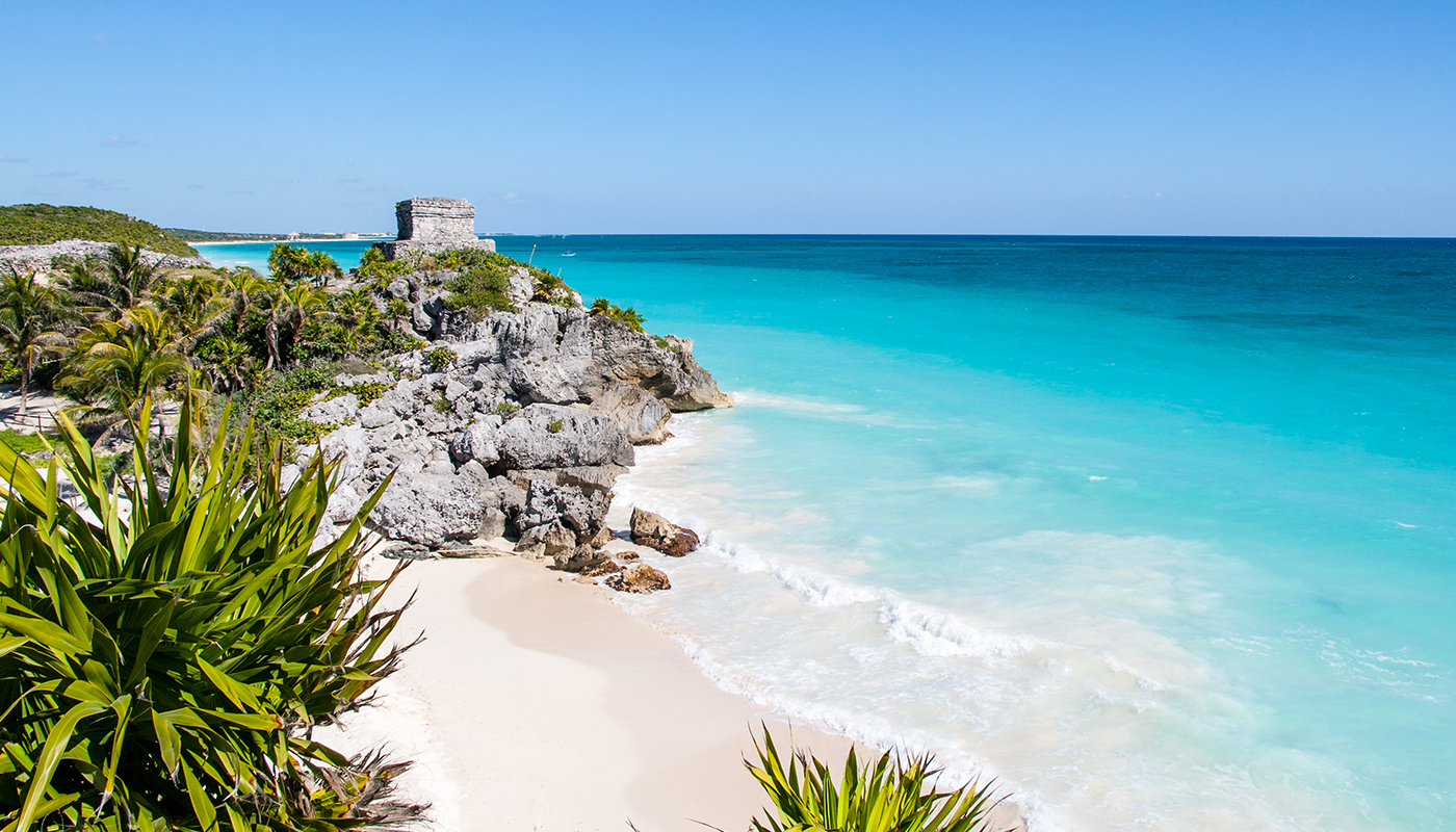
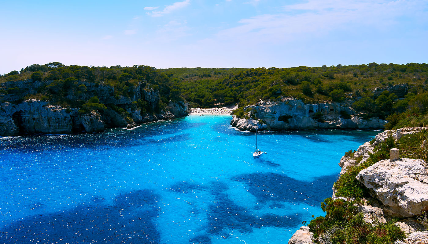
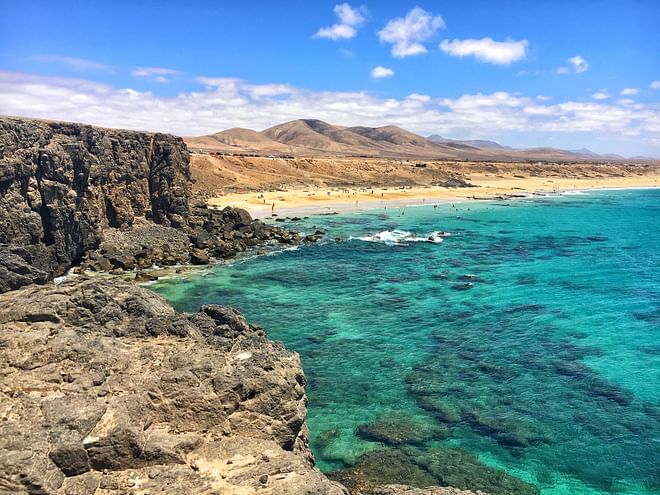
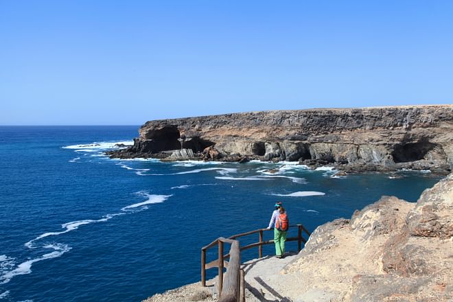
In addition to the usual sun, sand and beaches, the island of Fuerteventura has also been developing itself, for some years now, as a great place for top-quality hiking. Signposted and especially prepared by the Island Hiking Footpath Network, Fuerteventura has a combined total of 255 kilometres of walkable trails and paths. With 21 different routes—both in terms of length and difficulty—visitors can discover the island’s many different sides, from fauna and flora, to geology and history.
The Short Routes (PF-FV) and the Local Trails (SL-FV) that traverse the island’s geography serve as a foretaste for the GR-131, an international long-distance path that crosses Fuerteventura from north to south across various stages. Three natural parks—Lobos, Corralejo and Jandía—protected landscapes such as that of jable, small fishing villages and ports with bags of charm such as El Cotillo, and natural monuments such as Pico de la Zarza, are just some of the many gems that inspire hiking in Fuerteventura.
Short Routes in Fuerteventura: Morro Jable – Pico de la Zarza
We begin with the PR-FV 54, one of the six Short Routes (PR) that Fuerteventura boasts. With a length of almost seven kilometres, this trail connects the town of Morro Jable, situated in the south of the Jandía Peninsula, with Pico de la Zarza, the highest point on the island with an altitude of 807 metres.
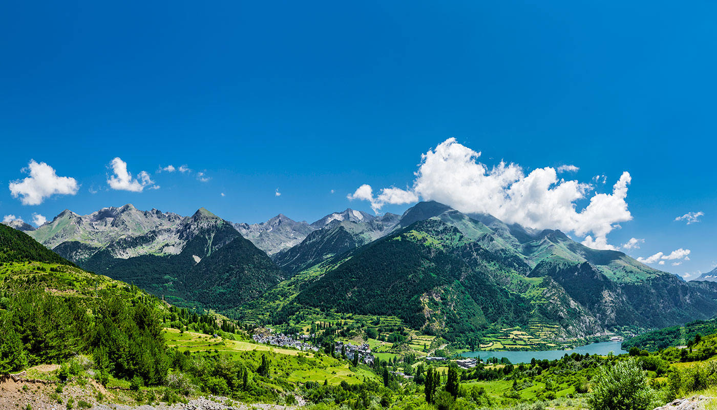
Although the route is perfectly waymarked, the hefty uphill climb guarantees you’ll work up a sweat. Nevertheless, the delights that hikers will find along the way more than make up for all the effort. In addition to the spectacular views from the summit—with a special mention for the never-ending Cofete beach on the coast of Barlovento—the whole trajectory is replete with opportunities to contemplate examples of the island’s beautiful endemic flora: cardón de Jandía, a type of cactus that has become a symbol of Jandía being the most important.
From early on, the route heads deep into the desert-like Jandía Natural Park, an area of special ecological character, which was also declared a Special Protection Area for Birds (ZEPA by its Spanish name), due to a profusion of the avian species that nest and breed there. And, since Fuerteventura seems to stockpile recognitions, it’s worth noting that the island—declared a Starlight Reserve by UNESCO in 2015 due to the quality of the night sky—is home to veritable star observatories in places such as Pico de la Zarza.
The best Local Trails in Fuerteventura: El Cardón – El Tanquito
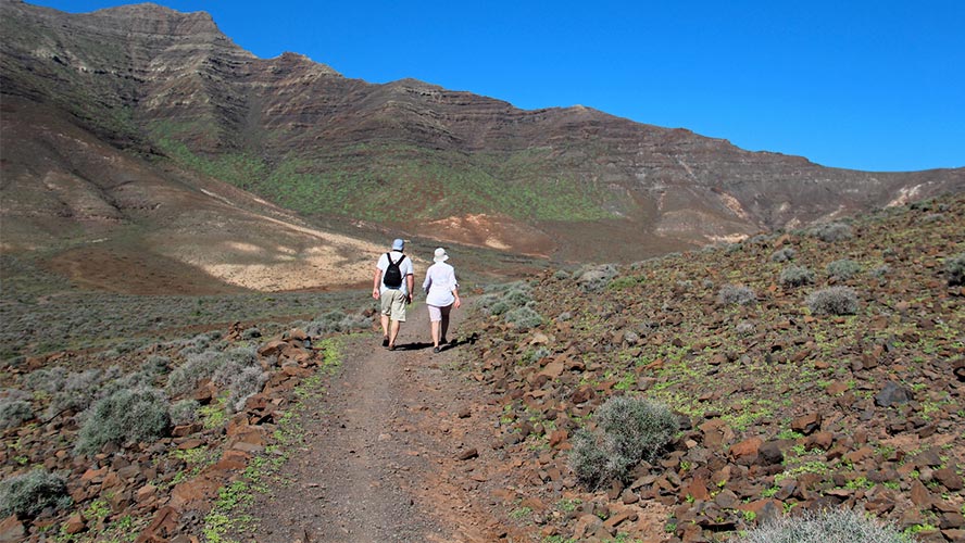
Now we’ll take a look at one of the six local trails that traverse Fuerteventura: the SL-FV 53, a route of just four kilometres that connects the town of El Cardón, situated inside the Betancuria Rural Park, with the hermitage of La Virgen del Tanquito, dug out from the rock at the foot of the Cardón Mountain Natural Monument.
Said route is highly recommended for families with children, given that, in addition to its short length, it is replete with anecdotes and legends closely tied to the ancient inhabitants of the island. As it happens, the path itself coincides with the route that worshipers of the Virgin of El Tanquito undertake from the hermitage to the village every year, since the early twentieth century—after the discovery of a supposed image of the virgin carved into the rock.
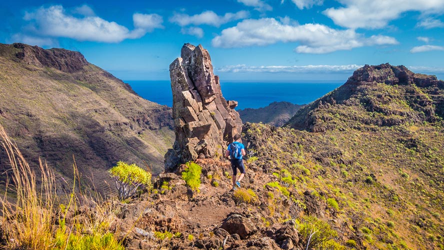
The same route can be completed by foot from El Cardón via the FV-618 road. Further ahead, a small dirt track surrounded by greenhouses and ditches leaves off from the road and leads directly to a rest area where the hermitage is situated. Each year it plays host to a pilgrimage in honour of the virgin. Once there, you can also decide whether to bring your day of hiking to an end or, instead, to carry on climbing up to the summit of Cardón Mountain. However, bear in mind that although the first part is very easy, the ascent up to the peak is tough.
GR-131: La Pared – Risco del Paso
And now, we come to the GR-131, a path that, in addition to connecting all the Canary Islands, is also part of the E7 European long-distance path network, which has a total distance of over 5,000 kilometres. From Romania to the Canary Islands, the GR-131 is the last great stage of its gargantuan journey.
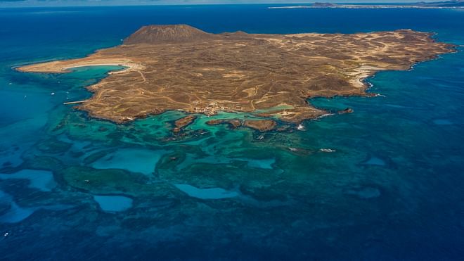
The GR-131 is divided up into nine stages joining the north and south of Fuerteventura along a 253-kilometre route. From the Island of Lobos, at the island’s most northerly point, to Punta de Jandía, in the far south, the range of possibilities is extensive and varied in terms of landscapes.
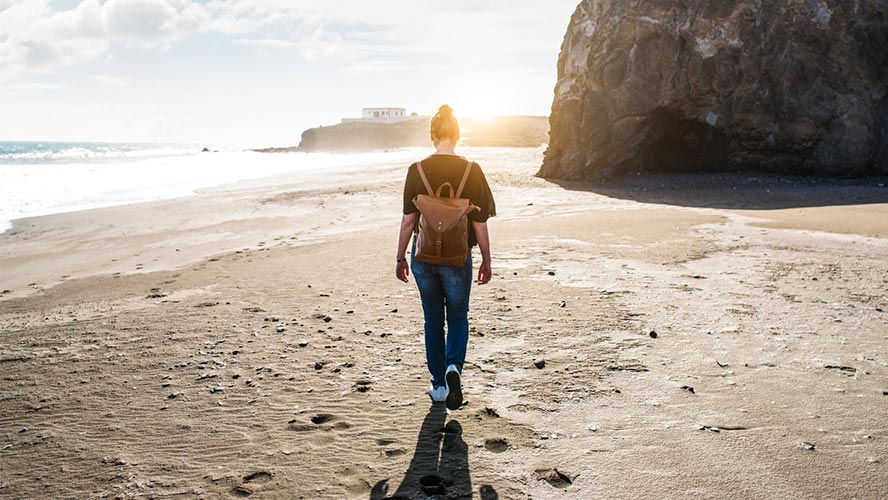
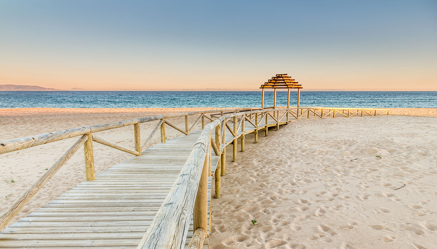
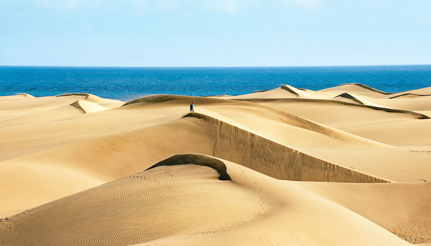
On this occasion, we’re going to run through the seventh stage, which runs from La Pared beach to El Risco del Paso beach. In total, a route spanning 18 kilometres, via jable in the north-east of Jandía Natural Park, which separates the coast of Barlovento from that of Sotavento. These flat expanses of mobile sand give the landscape a desert-like feel, only contrasted by the dark green of the characteristic cardones (giant cacti). In fact, the first ten kilometres of the route run parallel to the northern coast via the Camino de los Presos, a road built by the Franco regime’s political prisoners, which today remains half hidden under the sand of jable.
After a certain point, the path veers to the south and begins to descend to the lower ground of the Sotavento coastline. The last eight kilometres are no longer made up of sand but a dirt track surrounded by denser vegetation. The area constitutes the natural boundary between the dune plains and the earthy ravines of the southern inland area. Level with the Pecenescal ravine, often frequented by the area’s shepherds, is where the scattered houses of Risco del Paso begin to be seen, all of them overlooking the eponymous beach. This is also where the route comes to an end and, if you so wish, where a day of sun and beach with your friends begins.

