One of Gran Canaria’s two principal natural parks, Tamadaba lies in the north-east of the island and is one of the most spectacular nature reserves in the world. You won’t be sorry if you include a trip here when planning your Gran Canaria Break.
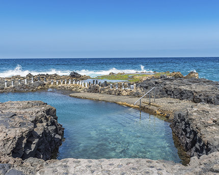
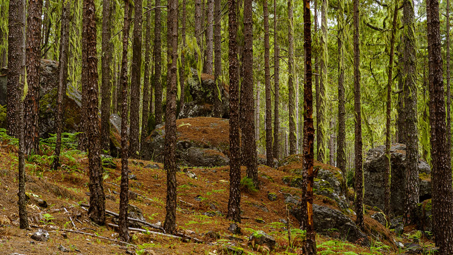
Within the biosphere reserve is the almost mythical pine forest, which contains the largest variety of endemic flora on the island. The reserve is bordered by an unusual coastline that gives on to other places of interest such as the picturesque fishing village, Puerto de las Nieves.
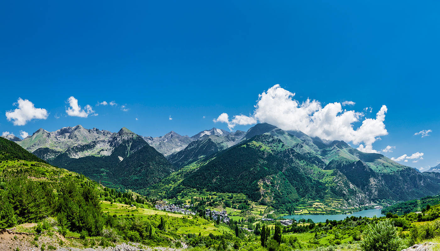
Tamadaba Natural Park’s 7500 hectares are split over three municipalities, Agaete, Artenara and Aldea de San Nicolás. It received its UNESCO Biosphere Reserve status thanks in principle to its rich biodiversity. That said, its fabulous pine forests made up of a species unique to the island, vertiginous cliffs and its rugged, inaccessible coastline no doubt played a part in its reward.
Tamadaba Massif
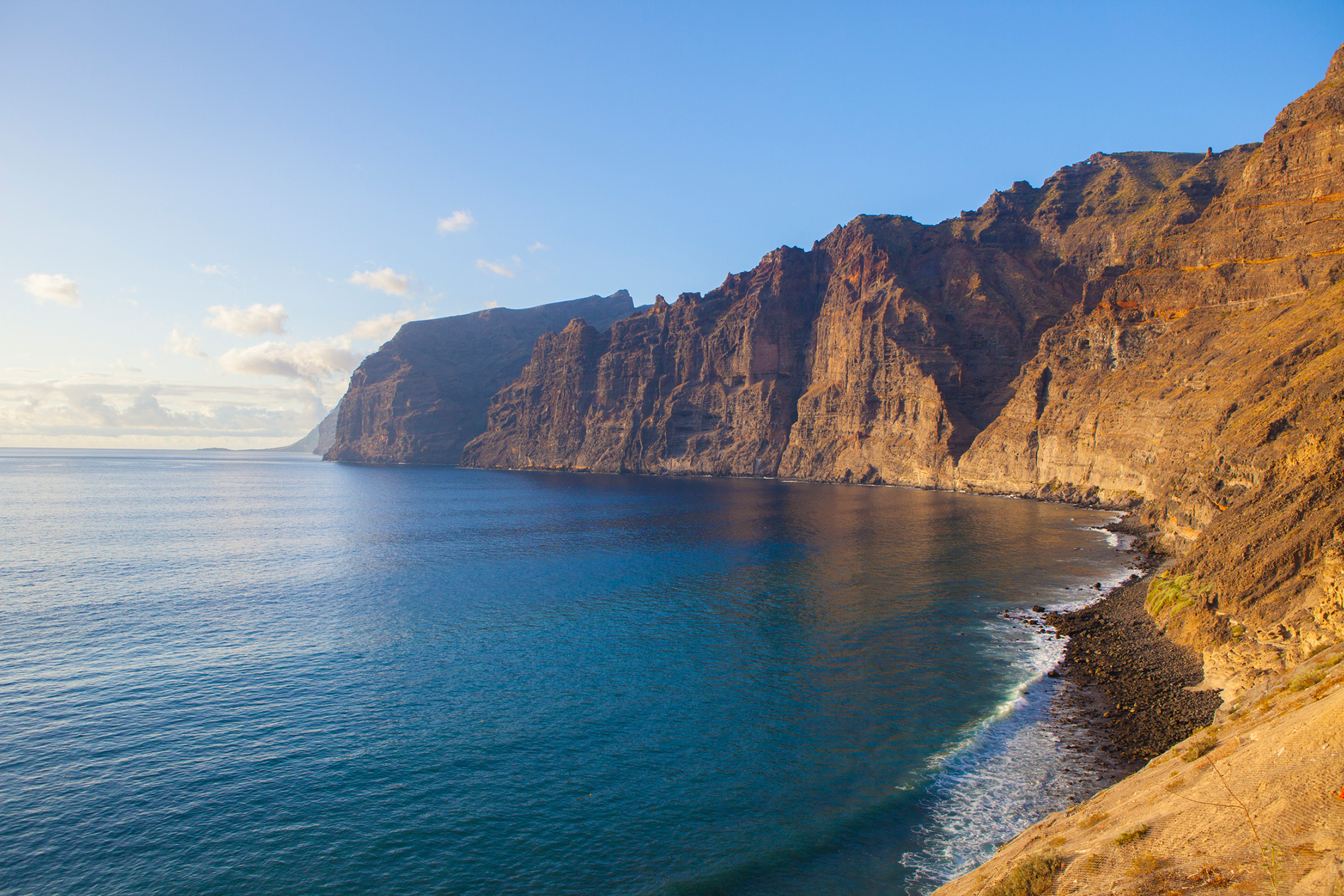
Tamadaba Park is actually a massif created by the Tamadaba volcano more than 14 million years ago. For this reason, the park descends towards the sea in a series of incised ravines, steep inclines and sheer cliff faces that give it its unique beauty. One such cliff face is Roque Faneque, which stands at an impressive 1008 metres, making it one of the tallest active cliffs in the world, and gives the sensation that it is about to topple into the sea below.
At the highest peak of the Tamadaba massif is an enormous pine forest that stands at a staggering 1444 metres above sea level and has thus garnered the title Pico de la Bandera or “Top of the Flag”. The entire peak is fed by the warm summer winds, also known as ‘trade winds’, that produce so much moisture among the pine trees that artificial damns have been created to capitalise on the water produced. Those summer winds don’t just irrigate the top of the massif, however. From the peak you can witness the majesty of the natural phenomenon created by the trade winds bringing the clouds together in what’s known as the “sea of clouds”.
The Birds of Tamadaba
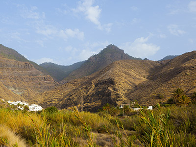
Within the natural park you will find a series of isolated and semi-abandoned hamlets and archaeological sites, such as El Risco and the valley of Guayedra. In this valley, a number of threatened bird species – some of which are unique to the park – have made their homes amongst the crags.
The Tamadaba natural park is obviously a protected space but it is also open to use as place for public recreation and scientific education. As such, there are two dedicated areas to camping: one for young people and another with a recreation area to cook in the outdoors, making it the ideal place for those interested in geology and biology as well as those who just appreciate staggering natural beauty.
Cliffs in the shape of dragons’ tails.
From the overlook of El Balcón you can see a precipice dotted with palm trees and cliffs in the shape of dragons’ tails winding down to the stony and black sand beaches. Here, the visitor can really disconnect from the rowdy world beyond the park and contemplate nature, silence and fresh air close to the clouds. Thanks to centuries of conservation, this place has become one of the distinguishing features of Gran Canaria.
Trails through the pine forest
The natural park is webbed with an abundance of walking trails of various difficulty. In general, those more seasoned walkers will wish to take the trails that connect the summits of the mountains with the Agaete valley and the coast. Those who prefer an easier walk, however, will not be left unsatisfied by taking the trails that border the pine forest below the peaks.
Some of the more notable trails are:
- Camino de Faneque. Follow this trail from ‘Casa forestal’ (a forestry management building) to the Faneque cliff, where you will get stunning views of the north-western coast of Gran Canaria.
- Camino del Pico de la Bandera. This trail will take you from the ‘Casa forestal’ waypoint at the centre of the forest to the peak of Tamadaba, Pico de la Bandera, a natural overlook that gives on to dreamlike landscapes.
- Camino del Fin del Mundo. Translated as ‘End of the World’, Camino Fin del Mundo is not as daunting as the name suggests and it will actually take you to one of the most spectacular and best known natural overlooks in Tamadaba.

