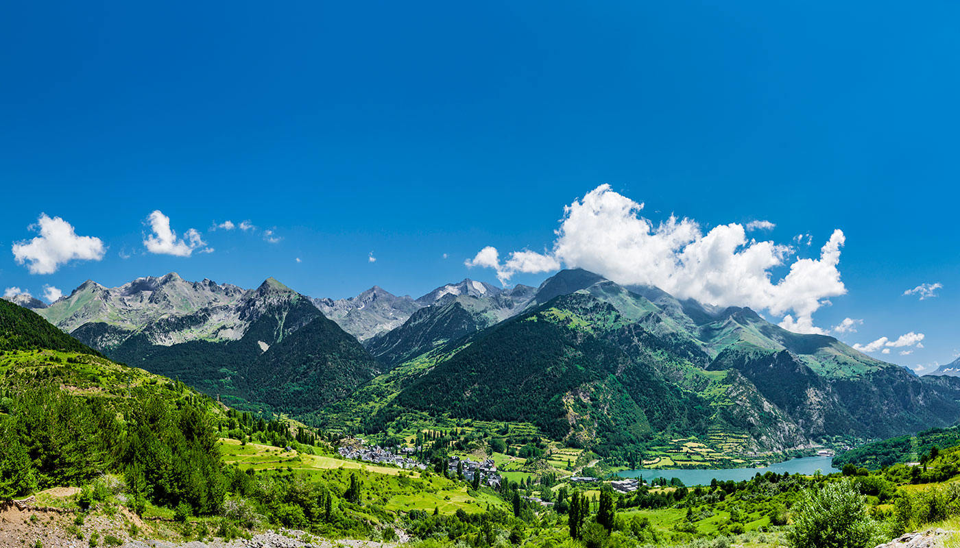
Sierra Nevada is famous for its ski resort, but this mountain range—the highest in Western Europe, preceded by the Alps—has much more to offer for year-round enjoyment. Unique for its high elevation at such a southern latitude, the nearly 170,000 hectares of protected land house a geographic rarity that began to take shape at the end of the Würm glaciation, approximately 12,000 years ago, when rising temperatures isolated in these mountains countless plant and animal species that were more suited to Nordic countries than the Mediterranean basin. As a result, Sierra Nevada has become the region with the most biological wealth throughout the entire peninsula, and the dozens of endemic species and various ecosystems make it a paradise for hikers. These four classic routes will help you explore the area.
Like Indiana Jones in Los Cahorros of Monachil
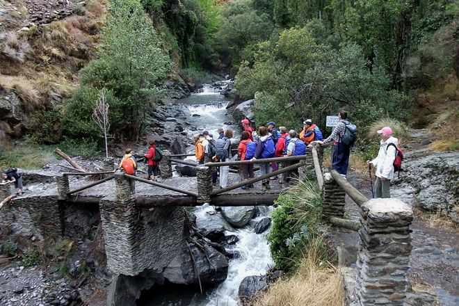
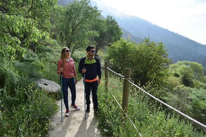
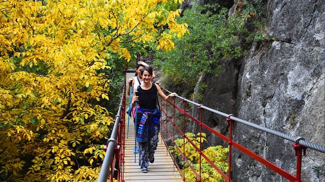
Only eight kilometres southeast of Granada, we come across a town called Monachil from which a trail leads to the amazing Los Cahorros gorges of the Monachil River. This is one of the most popular routes in the province because it is easy, circular and covers 12 kilometres in about three hours, making it perfect for families with kids. The narrow path travels along the river between gorges up to 30 metres high that the water has eroded over the centuries. The result is a spectacular valley where you can feel like Indiana Jones as you make your way through the tunnels, waterfalls and old hanging bridges.
The Los Cahorros trail begins 500 metres from Monachil by the road leading to El Purche. From here, we walk past country estates with fruit trees to reach Eras de los Renegrales, at which point we must decide between continuing along the path to Cahorros Altos (high) or Bajos (low). If we take the higher alternative, we can clearly see the narrow riverbed between gorges, although another option is to take one trail on the way there and the other on the way back. Regardless of what we choose, we will walk past the main features of this route, such as crossing an incredible hanging bridge that is 63 metres long and was built 100 years ago (although it was recently renovated) or hunching over to make our way through the narrow Palomas Cave. The river is wider in autumn and spring, which are the best seasons for beautiful routes through Cahorros of Monachil, but summer is also great for swimming in the cool water that flows down from Pico del Veleta.
In search of the Andalusian glacier in Pico del Veleta
The trek up to Pico del Veleta, the second highest summit in Sierra Nevada with an elevation of 3,395 metres, is a classic hiking route in this region. This 12-kilometre itinerary can be done in six or seven hours and begins in the area known as Hoyo de la Mora, where the A-395 road from Granada to the Pradollano ski station ends. This happens to be the location of the Jardín Botánico Universitario de Sierra Nevada (Sierra Nevada University Botanical Garden) that has housed the mountain’s endemic species since 1965, including the plantago nivalis that grows in the borreguiles (mountain meadows similar to the Arctic tundra).
From the Albergue Universitario (University Hostel), we begin ascending the slope to reach the famous image of Our Lady of the Snows in just over ten minutes. Keeping the ski resort to our right, we continue up to a spot known as Posiciones del Veleta that overlooks Mulhacén, Alcazaba and Corral del Veleta, a shaded area under the northern face of the mountain where at one point the only Andalusian glacier was located until it melted completely in the summer of 1913. Up until now, the surface of Corral del Veleta has remained in a state of permafrost or fossilised ice dating back 13,000 years, but scientists have discovered that it is slowly disappearing as a result of climate change.
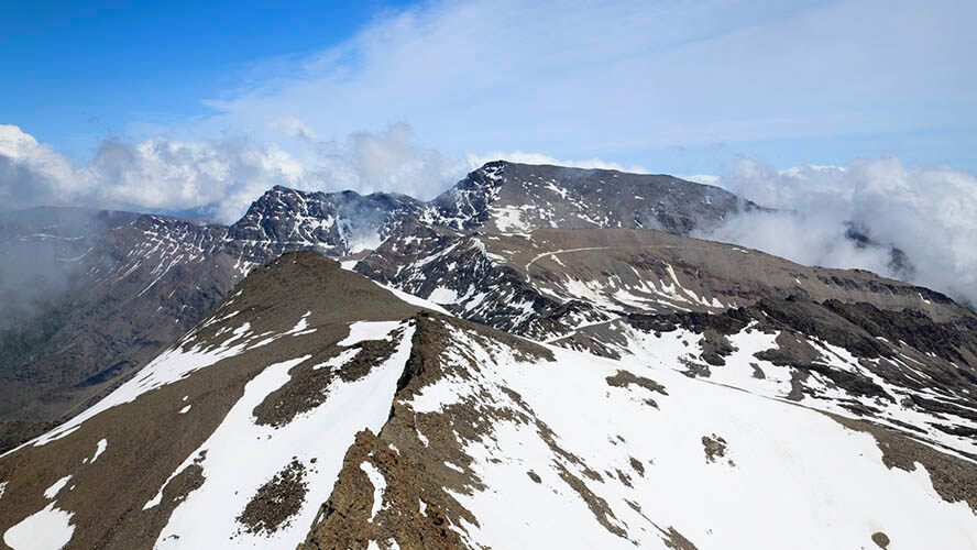
At this point, like on others along the route, the path crosses the old road from 1935 that led directly to the summit and was considered the highest in Europe until it was closed to traffic in 1999. With this road, we can easily reach the top and take a photo next to the triangulation station to mark our accomplishment.
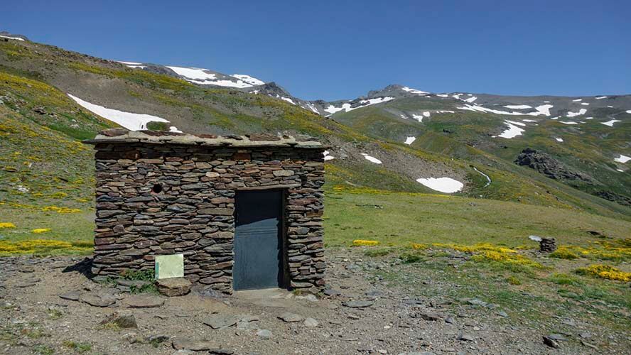
On the way back, we can rest and grab a bite at the nearby Carihuela bivouac shelter before returning to Posiciones del Veleta and the path leading down to the car park.
Ascent to Mulhacén, the roof of the Iberian Peninsula
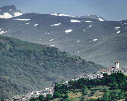
According to legend, the penultimate Nasrid king of Granada, Muley Hacén, was buried on this mountain that would be named after him for eternity. The highest peak in the Iberian Peninsula (3,478 metres above sea level) can be reached by several routes, but we suggest a simple one that is suitable for families and begins on the pleasant southern side, in the Alpujarra village of Capileira. Here, the Servicio de Interpretación de Altas Cumbres (High Peaks Interpretation Service) offers guided microbus tours that will take us to Alto del Chorrillo at an elevation of 2,600 metres. This is the starting point of the 12-kilometre hike to ascend and descend Mulhacén. Along the way, we can take in views of the nearby Pico del Veleta and cross paths with mountain goats, the undisputed stars of Sierra Nevada’s fauna, before reaching the triangulation station of Mulhacén II or the Fake Mulhacén, which has given false hope to quite a few hikers.
In reality, however, Cañada de Borreguiles awaits and it will take us to the true summit. The Laguna de la Caldera lagoon that will soon appear on the left is the sign that we are almost there. It is advisable to climb Mulhacén in the summer, when we can come across an everlasting snowfield or two at this elevation, as opposed to the vast snow of winter months, when the route becomes more difficult and requires high-altitude equipment.
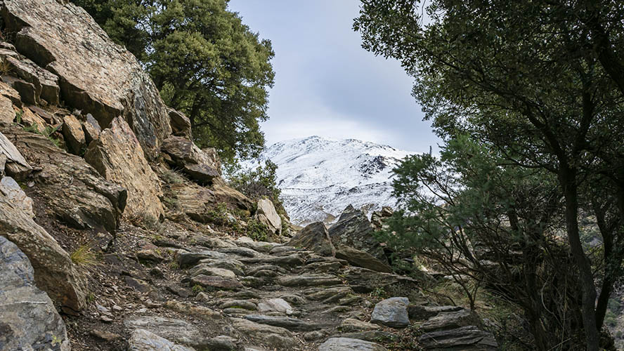
Upon reaching the summit, we are welcomed by a triangulation station—the highest in the peninsula—and a small chapel with an image of Our Lady of the Snows where mountain climbers leave their handkerchiefs and flags. On a clear day, it is possible to see as far as the Mediterranean Sea and the African coast. According to legend, this is the spot where Zoraida, the Castilian lover (who converted to Islam) of the penultimate Nasrid sultan, fulfilled Muley Hacén’s last wish to be buried up high in Sierra Nevada. The actual tomb, however, has never been found.
Vereda de la Estrella, the route of former mines
Vereda de la Estrella, a historic path connecting the various mines established in the valley of the Genil River since Moorish times, is the most beautiful hiking route in all of Sierra Nevada. Although it is now frequented by hikers and nature lovers, this 19th century path was originally used by carts loaded with pyrite and other minerals. Mining production declined when the narrow gauge railway that connected Granada with the San Juan Gorge—where Vereda de la Estrella begins—was closed in 1974. The path remained abandoned until it was given a new lease on life by hikers and became one of the most stunning landscapes in Sierra Nevada under the shaded northern faces of Mulhacén, Veleta and Alcazaba and their ever-present snow in a scene that seems out of place in southern Andalusia.
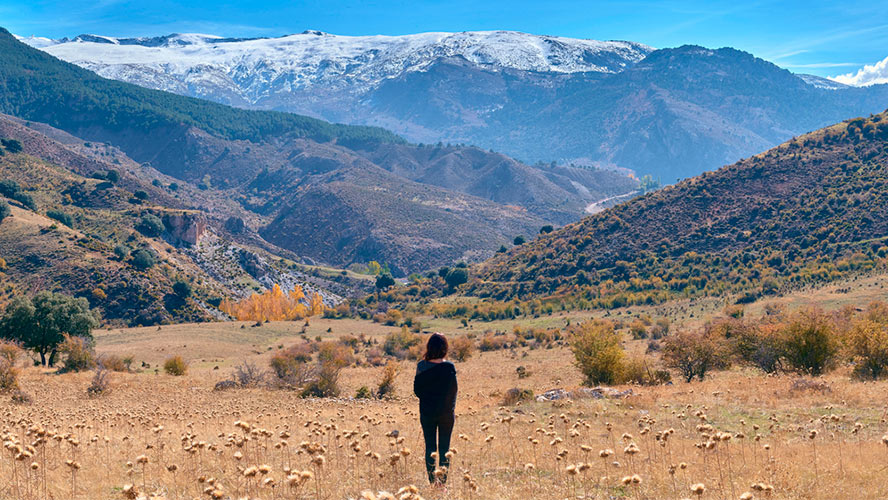
The trail, approximately 18 kilometres there and back, begins at the car park near the picnic area of the San Juan Gorge and runs parallel to the Genil River between forests of oak and chestnut trees. In about three kilometres we come across the ‘grandfather’, a hundred-year-old chestnut tree known by hikers. We continue along, leaving behind the old mines such as La Estrella—which the trail is named after—, La Probadora and La Justicia. We finally reach the meadow of Angostura del Real, a place where three streams come together and visitors can go for a swim when the weather is warm. At this point, the path follows the course of the river along the Valdeinfierno Gorge before reaching Cueva Secreta, a natural shelter shaped by a stone that in the past provided cover for shepherds. Although it is possible to continue to Mosca Lagoon, we recommend ending the route here because the trail becomes increasingly steeper and winding as it enters the foothills of Mulhacén, making the duration of the hike excessively long.

