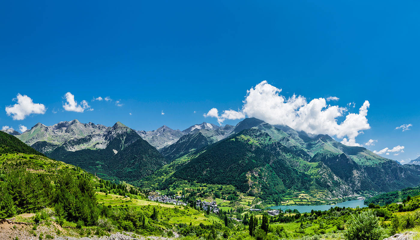
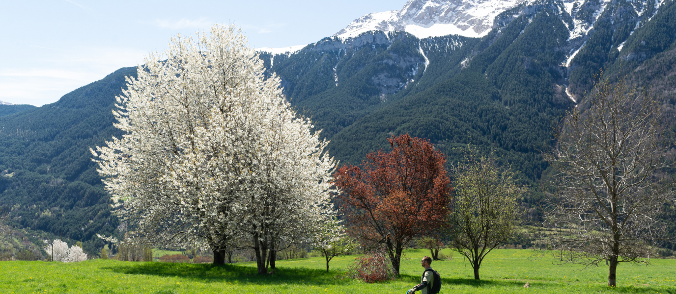
Active sports enable you to enjoy natural environments with a high degree of intensity. The magnificent natural landscape of Huesca with mountain ranges, valleys, canyons and large forests is one of the best settings for riding a mountain bike and following itineraries adapted to your physical form. Depending on your tastes and technical level, you can choose routes prepared by specialists or others appropriate for families. Some interesting routes are shown below. Our advice is to download specific guides that you can check offline since there may not be mobile coverage in some areas.
Bike trails through the magical Kingdom of the Mallos
The cycling routes provide you with direct contact with nature and natural areas as stunning as the Kingdom of the Mallos, a landscape dotted with massive rock formations. In the Aragonese Pre-Pyrenees, you may find enchanting villages, castles, forests and rivers, whose appeal may be more than enough for you to decide pedalling without any problems. There are numerous trails in the area; six of the most common ones are shown belowThe Foz de Salinas trail is one of the classic mountain bike routes. It is 16 kilometres long and starts (and ends) in Villalangua, and goes through a track until the Osqueta hill. From there, it continues through a trail until Foz de Salinas, going through the old village of Salinas beforehand. It takes 2-3 hours to complete the route.
- The Foz de Salinas trail is one of the classic mountain bike routes. It is 16 kilometres long and starts (and ends) in Villalangua, and goes through a track until the Osqueta hill. From there, it continues through a trail until Foz de Salinas, going through the old village of Salinas beforehand. It takes 2-3 hours to complete the route.
- The Mallos de Agüero trail is a 30-kilometre route which goes uphill from Agüero to the Osqueta hill.
- The Superenduro Riglos trail is a 21.5-kilometre route which requires certain physical effort and has trail and track sections. The path goes uphill along a road and a trail from Riglos to the Os Fils cliffs and, from there, it goes downhill along a trail to the Clérigos ravine. It also passes the Santo Román hill and Carcavilla before reaching the Mallos de Riglos.
- The Carnicabras trail, which is 24 kilometres long, is circular and requires 2-3 hours. It goes along relatively easy tracks and trails around the village of Ayerbe. It passes places like Fontellas, Losanglis, the Casbas sanctuary and Saint Michael’s chapel.
- The Redoladas de Biscarrués circular trail is 23 kilometres long and requires 2-3 hours. It is an easy route which starts in Biscarrués and goes along beautiful areas such as the valleys of Contienta, Turuñana, and the village of Fontellas.
- The Sierra Estronad circular trail has a total of 19 kilometres (2-3 hours), as well as track sections and rocky paths. It starts in Santa Eulalia de Gállego and will help you explore beautiful areas, the restored village of Sierra Estronad and Saint Quiteria’s chapel.

The Osqueta enduro trail
The Osqueta bike trail is 16.6 kilometres long and has an altitude gain of 870 metres. It is a circular route which can be done in around 2 hours and is considered to be difficult. The trail starts in Villalangua, a village located on the left bank of the river Asabón. The first 10 kilometres are along a comfortable uphill track, reaching an altitude of 1,300 metres above sea level. That altitude provides wonderful panoramic views of the landscape. From the highest point, you go downhill along a more complicated zigzagging path and with some technical passes. The recommendation is to wear protection because there are some cobbled sections which require great skill. Nevertheless, the views are incredible and the effort is worth it.
The Gállego Greenway, suitable for everyone
If you want to ride a bike in Huesca with children, the Gállego Greenway is perfect. It goes along paved roads and there is hardly any altitude gain to make the ride difficult. This greenway runs parallel to the river Gállego, so you can even stop in the summer to take a dip in the river’s pools.
The best thing to do is start on the left bank and continue until Conchada Park in Biescas, towards Orós Alto, where you cross a bridge and see the sign to start the greenway. There is a panel with the route indication at La Concha car park.
The total distance if you do Biescas-Vía Verde-Orós Alto-GR16-Biescas is 9.5 kilometres, so you will complete it within one hour. Since there are picnic areas along the path, you can organise the route as a relaxing picnic outing and stop to have a drink or sandwich.
The Asnos lake bike trail
The landscapes you will see in this route which takes you to the Asnos lake (Ibón de los Asnos) is well worth the effort of its 21 kilometres (with an altitude gain of 1,000 metres). It is a circular trail that is considered to be difficult and requires around 2 hours.
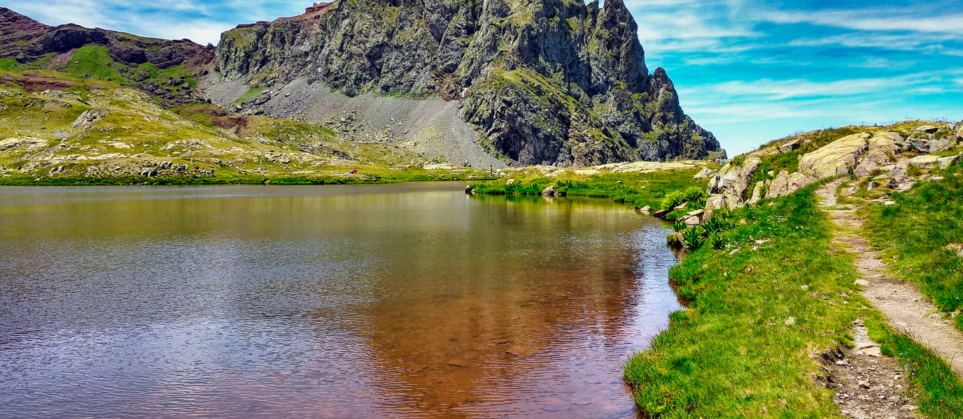
The starting point for the Asnos lake ATB trail is in Hoz de Jaca. From there, you start going uphill along a track with an acceptable state, and which is comfortable, until the lake itself. Our recommendation is to get off the bike next to this mountain lake and enjoy the beautiful image of the landscape reflected in its waters.
The return trip can be done along the same route or, if you are in great physical shape and have enough technical skills, you can take another route which crosses the Panticosa ski resort. With that additional section, you will be able to visit Sabocos lake and a beechwood that provides a beautiful natural spectacle in autumn.
Trails to the Ordesa viewpoints, breathtaking views
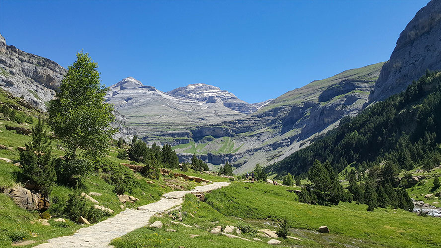
This is a long route, of 50 kilometres, where you can explore the delightful villages of Huesca, immense landscapes and high peaks. The trail is moderate, with an altitude gain of 1,800 metres, and requires around 5 hours.
It is a circular mountain bike route which runs along roads and tracks that pass through the villages of Sarvisé, Buesa, Torla and Broto. If you go by car, you can park in Sarvisé and start a steep climb from there until the Bruesa intersection. You then go towards Enmendio peak, skirting along a path to access the Cutas sierra, which is where the Ordesa viewpoints are located. There, at over 2,200 metres above sea level, the panoramic views are impressive since you can see the strata that has been created over 50 million years. You will not be able to stop taking photos.
The return trip will be along the same path until the Torla intersection, from where there are 15 kilometres downhill along a forest track. From there, you will see Torla, Broto and Sarvisé.
The Trans-Pyrenees trail for titans
This is the longest route in our guide since it has 810 kilometres between Cape Creus (Cadaqués) and Cape Higuer (Hondarribia). The Trans-Pyrenees trail was recognised as a long distance trail (GR11) in 1985, so you must follow the white and red markings. Of the total route, 290 kilometres go through Huesca province. It is a tough and demanding trail which requires a certain physical condition but provides the opportunity to explore incredible landscapes, villages, gastronomy and ancestral traditions. Along the route you will pass through volcanic areas such as Cadí, Camprodón, Maladeta massif, Anayet and Larrún, and surprising glaciers and lakes.
Remember to prepare this route well; more information is available on the Transpirenaica official website.

