In the far west of Huesca, bordering on the neighbouring province of Lleida, are the Montfalcó walkways, a fabulous piece of craftsmanship anchored to the wall of rock. This enables trails to be linked in a landscape with sheer drops.
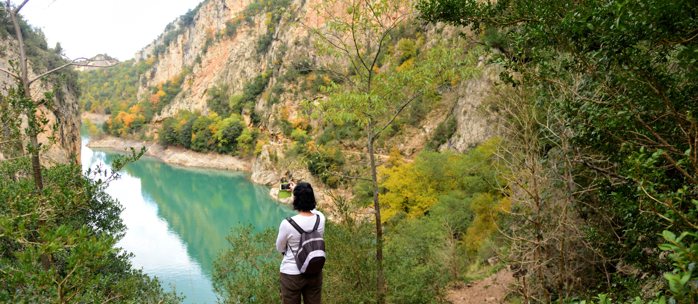
A wall of rock over the Canelles reservoir, from the Noguera Ribagorzana river, the natural border between Aragon and Catalonia, is the large physical obstacle which interrupts the trails which join the towns in the area. Overcoming this natural barrier was a challenge set by those who created these walkways.
Montfalcó may be reminiscent of the famous Caminito del Rey (the King´s Way) in Malaga, another trail of walkways at the heart of a ravine which has become very popular in recent years. In the area where the Montfalcó walkways are, you will find this hiking trail which is characterised by being utterly dramatic. However, it is not suitable for vertigo sufferers.
What are the Montfalcó walkways
The source of the Noguera Ribagorzana river is in the Val d´Aran (Aran Valley) and from practically its spring becomes a natural border between Aragon and Catalonia. As you walk southwards towards the Ebro basin, the river opens up between different highlands and sheer relief composed of ravines and gullies, where there are some reservoirs.
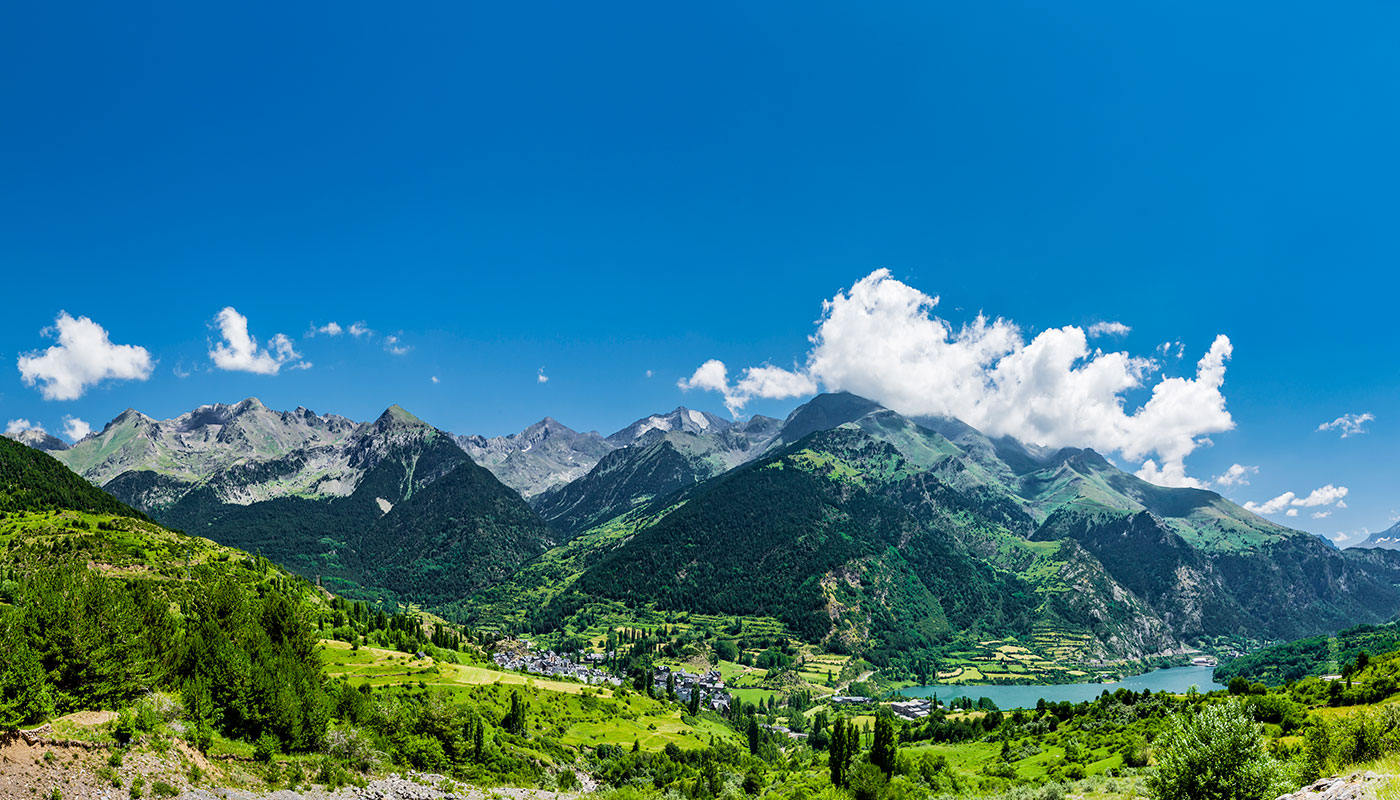
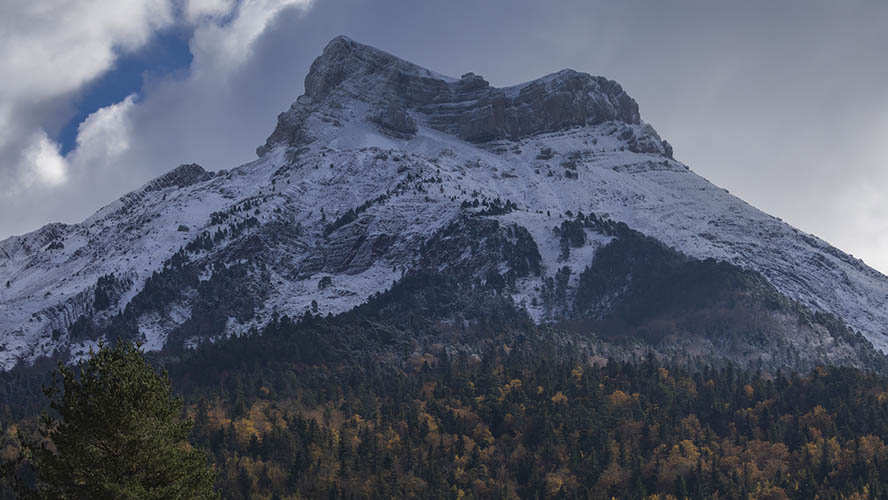
In one of these dams, that of Canelles, are the Montfalcó walkways. We are in the Sierra del Montsec (Montsec Range) in the foothills of the Pyrenees, a rugged mountain range between Huesca and Lleida which just crosses the river Noguera-Ribagorzana.
The long-awaited Montfalcó walkways were built in 2013 and 2014. The creation of the Canelles reservoir in 1960, which entailed flooding the land, cut off the paths on either side of the river, thereby rendering the town of Montfalcó uninhabitable. As the paths were retrieved due to the walkways, a centuries-old communication path was restored.
In order to recover the old trail, the project envisaged making two walkways fixed to the vertical wall, as well as a suspension bridge on the Sigüe side of the gully, at the narrowest point of the whole Canelles reservoir, a few metres upstream.
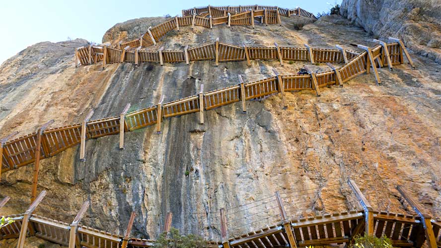
The wooden walkways are held there with steel embedded into the rock. Both of them have differences in height of 33 and 50 metres respectively zigzag along the gully with really sheer drops. Together with them, the 35-metre long suspension bridge which crosses from Huesca to Lleida, is another exciting passageway in this unique spot.
This project also recovered a former shelter used by labourers, Casa Batllé, which today is Montfalcó Hostel.

Route: from Montfalcó to Congost de Mont Rebei
With the construction of the walkways and the suspension bridge, the old trail, which joined both provinces could be recovered and several hiking routes were established.
The trail from Montfalcó to Congost de Mont Rebei is the main one, since it covers these impressive walkways and joins both provinces. This linear route starts from Montfalcó hostel itself on the Aragon side, where there is ample parking, to La Masieta on the Catalan side, where another car park awaits. In total, this taxing trail is eight and a half kilometres, given the special features the walkways have. As, it is not circular, it would be a good idea to organise a pick up at La Masieta.
At the start of this trail there is a turning to visit the nearby Santa Quiteria chapel, a small, beautiful Romaneque one from where one can enjoy fantastic views over the reservoir. Now back on the path, after hardly two kilometres of descent you will come to the first stretch of walkways, where there is a difference in height of 33 metres right by the crag. The passageway is so narrow that only one person may pass at a time. The views from the wall itself are impressive.
After the first walkway, the trail continues to hug the wall until the longer, second walkway is reached. It is 97 metres long and has a difference in height of 50 metres. It is the most spectacular stretch, from where the Siegue suspension bridge can be seen. Now, on solid ground after the stairs, there is a steep descent towards the viaduct with sheer drops which crosses the river over from the Aragon side.
Once on the Catalan side, an ascent leads you to Congost de Mont Rebei, the spectacular ravine which juts out into the chasm. The trail bores through the wall itself, as if it had been burrowed by a worm.
Tips and safety
Going on the Montfalcó walkway trails is by no means a high-risk sport, although some safety precautions need to be taken. The trail is not very long (under 9 kilometres) but it is tough on the legs due to the nature of the walkways themselves, so it is only suitable for those in good health.
The main safety tip concerns vertigo. As these walkways are embedded into the rock, they may be unsuitable for those suffering from vertigo so it would be sensible to take precautions. The walkways have several steel cables on the outer side, so they are safe at all times. Don´t be afraid, the trail is safe.
Due to the width of the structure, only one person may pass at a time, except at certain points and rest areas where there is more space. You should also take care with the walkway steps, since the floor is not continuous and there are gaps between each step.
There is one final tip for following the Montfalcó walkways: this is not a circular trail but a linear one. Therefore, you need to plan what to do on reaching the end. If you are in a large group, it can be split up so that it can follow the trail in both directions. This way, the keys can be exchanged half-way. If not, it is possible to order a taxi to pick you up at the end of the trail.
Useful information:
- How to get there:
- From Huesca, take the N-230 up to the locality of Viacamp, where there is a tourist information office. From Viacamp you need to take an unpaved road for around 15 kilometres until you reach the Montfalcó hostel car park.
- Access car parks: Montfalco hostel car park (Huesca side) and La Masieta car park (Lleida side).

