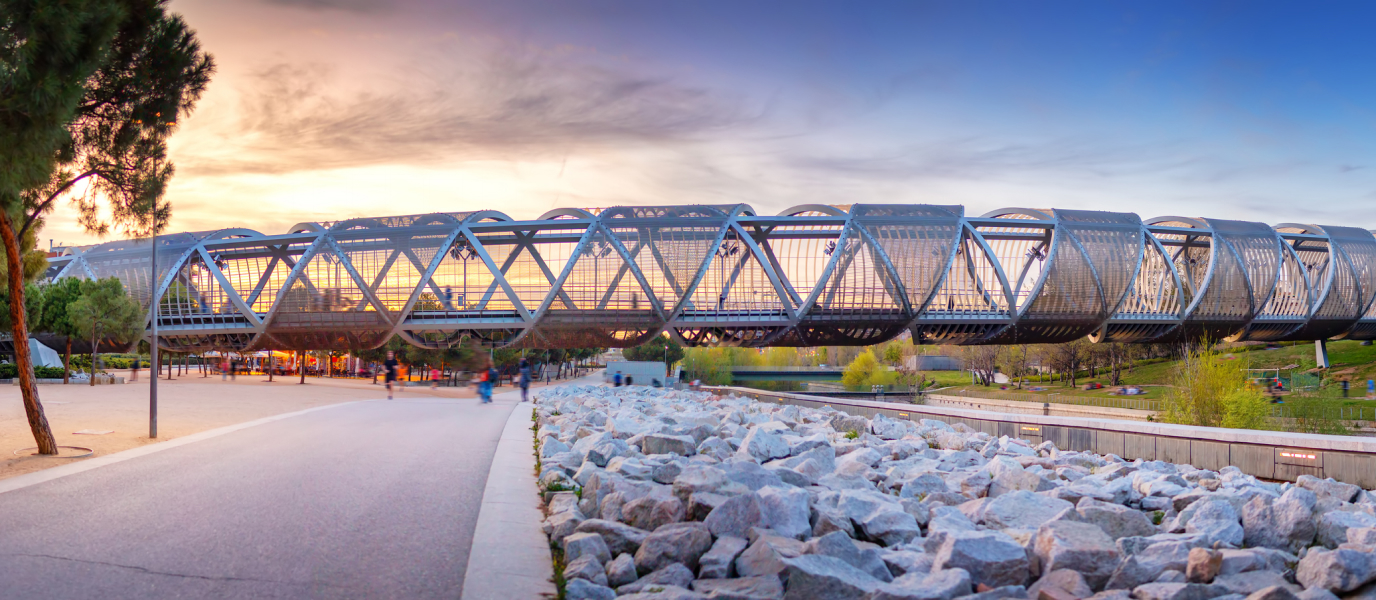
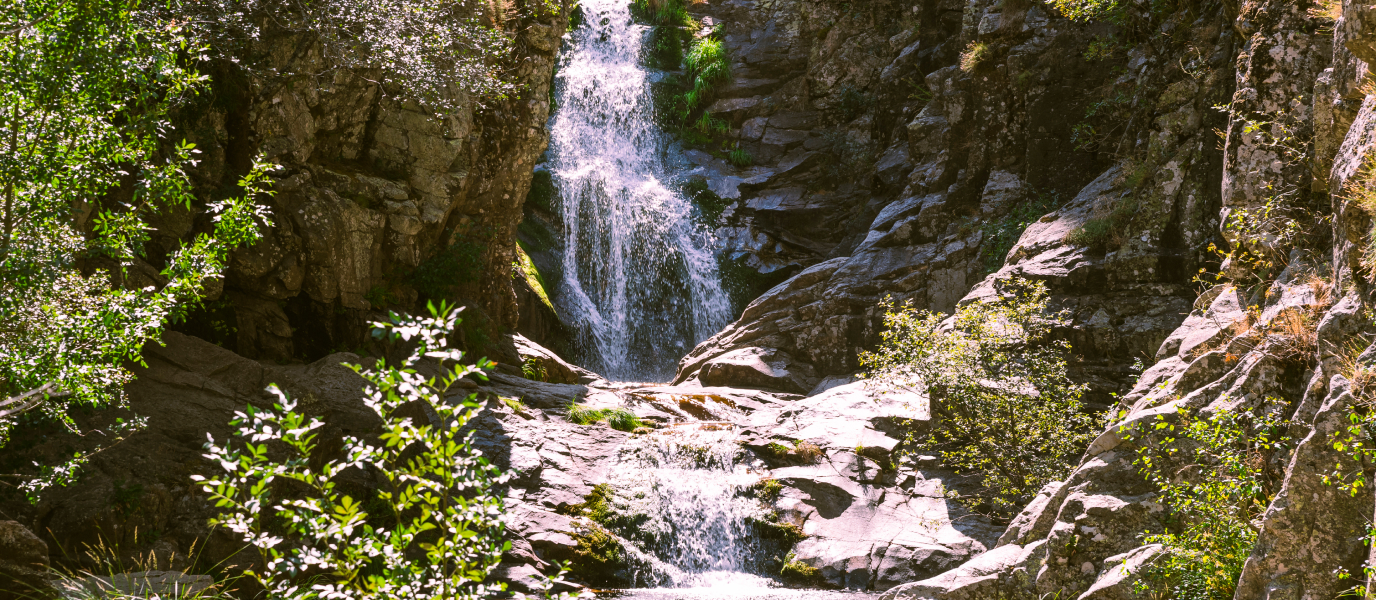
In Spain, vías verdes [green routes] are scenic pedestrian and bicycle routes that can be used to travel alternately through nature and the city without needing to worry about traffic. They’re increasingly common in large cities because they have a number of advantages; they’re a sustainable way for people to get around each day and at the same time help to boost cycle tourism.
Madrid took its first steps towards creating this type of cycle lane in 1995 when the City Hall commissioned the construction of the stretch that joins the Canillejas and Vallecas neighbourhoods. Today, this is just one of the six stretches that in 2007 were joined together to form the Anillo Verde Ciclista (AVC), a project financed by 50 million euros of investment. The AVC is a circular 64 km route around Madrid city centre that passes through the different neighbourhoods on its outskirts. Below is a brief outline of the route and how it links up to other cycle lanes in the capital.
What is Madrid’s Anillo Ciclista?
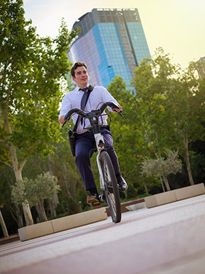
The Madrid newspaper library reveals that the Anillo Ciclista de Madrid was born, almost literally, from an unfortunate incident. The Anillo took four years of works and significant financial investment and it is said that its 64 km route was constructed using rubble from the Torre Windsor, a tower destroyed by a fire in 2005.
In any event, today the Anillo Verde Ciclista offers local residents and tourists the chance to enjoy a delightful route circling the areas around the Almendra Central area. And although it doesn’t go into the city centre, twenty Metro, three Metro Ligero and six Cercanías commuter train stations are less than 200 m from the path of the Anillo. It also has plenty rest areas along the way; many are equipped with benches, gym equipment and drinking water fountains. Each kilometre of the route is signposted to make it easier to determine your position, which is handy for meeting people, or in the event of an accident.
Another great pillar of this project is, without a doubt, the bicycle hire service available to all which is run by Madrid City Hall. It’s called BiciMAD and has 165 stations distributed around the city where you can take and return a bicycle after paying for the service.
The six stretches of the Anillo Verde in Madrid
The Anillo Verde Ciclista is divided into six stretches that are marked out by the six motorways (A-1 to A-6) that lead out of the capital. Many other cycle lanes also connect to different stretches of the Anillo Verde and they can be used to temporarily leave the Anillo and then later return to it. Below is a brief outline of the six parts of the Anillo and how they link up to other cycle paths:
- Stretch 1 (km 0 to km 9): Km 0 is found in the north of Madrid in the Las Tablas residential area. It is 9.5 km long and passes through Sanchinarro, Santa María, San Lorenzo, Villarrosa, La Piovera and Canillejas neighbourhoods. It’s possible to connect to the Vía Ciclista Alameda de Osuna bicycle route, which can be used to explore the Juan Carlos I and El Capricho city parks.
- Stretch 2 (km 9 to km 19): 10 km long, it starts at the intersection with the A-2 next to the Canillejas
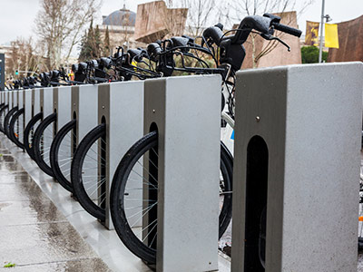
You will find different positions to rent bicycles neighbourhood. It passes through the Rosas, Moratalaz and Fontarrón neighbourhoods and connects to the Vía Ciclista de Vicálvaro cycle route and the park of the same name.
- Stretch 3 (km 19 to km 28): The third stretch lasts 8.7 km and is mainly uphill, passing through the Entrevías, El Pozo, San Fermín and Orcasitas neighbourhoods and three big parks: Parque Lineal de Palomeras, Parque Forestal de Entrevías and Parque Lineal del Manzanares.
- Stretch 4 (km 28 to km 38): As its name suggests, this stretch starts at the intersection with the A-4. It is 9.7 km long, passing through the southern neighbourhoods of Pan Bendito, San Francisco, Carabanchel Alto and Aluche. It is also the access point to another cycle lane: the Vía Ciclista Pau de Carabanchel.
- Stretch 5 (km 38 to km 49): Starting at the A-5, the fifth stretch of the Anillo is 12.3 km long (one of the longest) and heads through the Casa de Campo and along the Manzanares riverside. It’s a very scenic, nature-filled setting with no traffic and as a result is one of the most popular parts of the route. You can also connect to many other cycle paths in Casa de Campo.
- Stretch 6 (km 49 to km 64): The final stretch can boast of being the longest at 15 km and lets cyclists travel through the Puerta de Hierro, Arroyo del Fresno, Mirasierra, Montecarmelo and Tres Olivos neighbourhoods before returning to the starting point at Las Tablas. Watch out! This stretch has the most uphill parts.
Other bicycle routes through the centre of Madrid
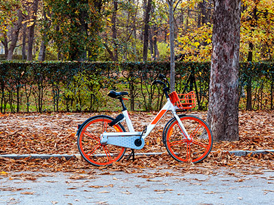
As if that weren’t enough, in addition to the Anillo Verde Ciclista and its links to other cycle paths, the Spanish capital also has entirely urban routes that can be used to pedal around the heart of Madrid. It should be pointed out that these routes pass through areas with lots of traffic so may be less relaxing for cyclists at times. However, as long as you take care and are patient, you can see the city in a different way and enjoy a multitude of health benefits at the same time. There are 10 routes to choose from and highlights include:
-Route 02 (Paseo de la Castellana – Paseo de Recoletos – Paseo del Prado): 5 km long, it starts in the north of Madrid at Paseo de la Castellana and descends southwards, using Paseo del Prado and Paseo de Recoletos to reach the Atocha railway station area.
-Route 03 (Templo de Debod): This 6 km route is the greenest of the ten because it runs from Plaza de Moncloa through various parks and gardens. The Parque del Oeste, or greenery around the Templo de Debod, are interspersed with historic monuments such as the Royal Palace.

