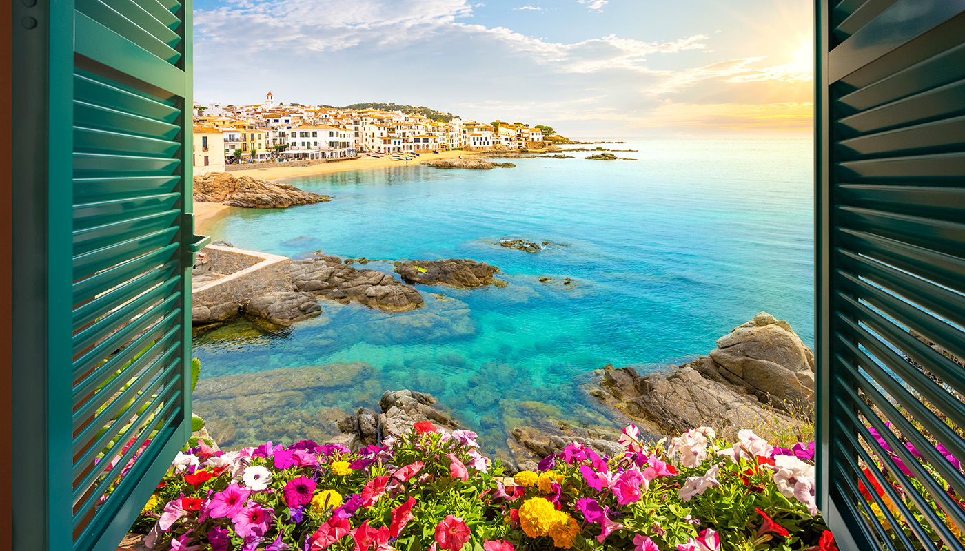
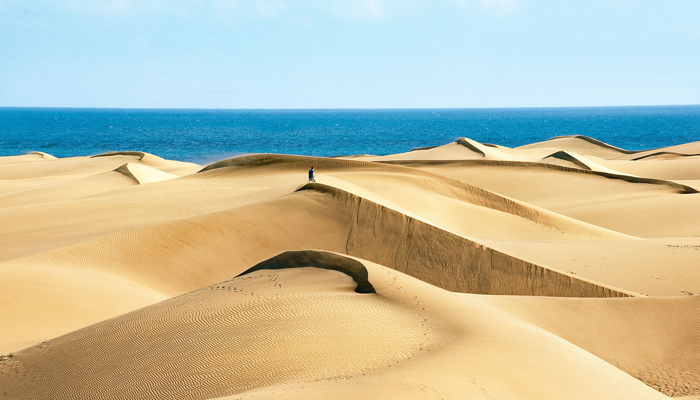
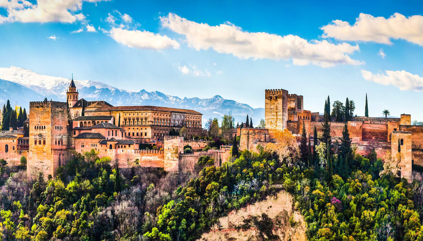
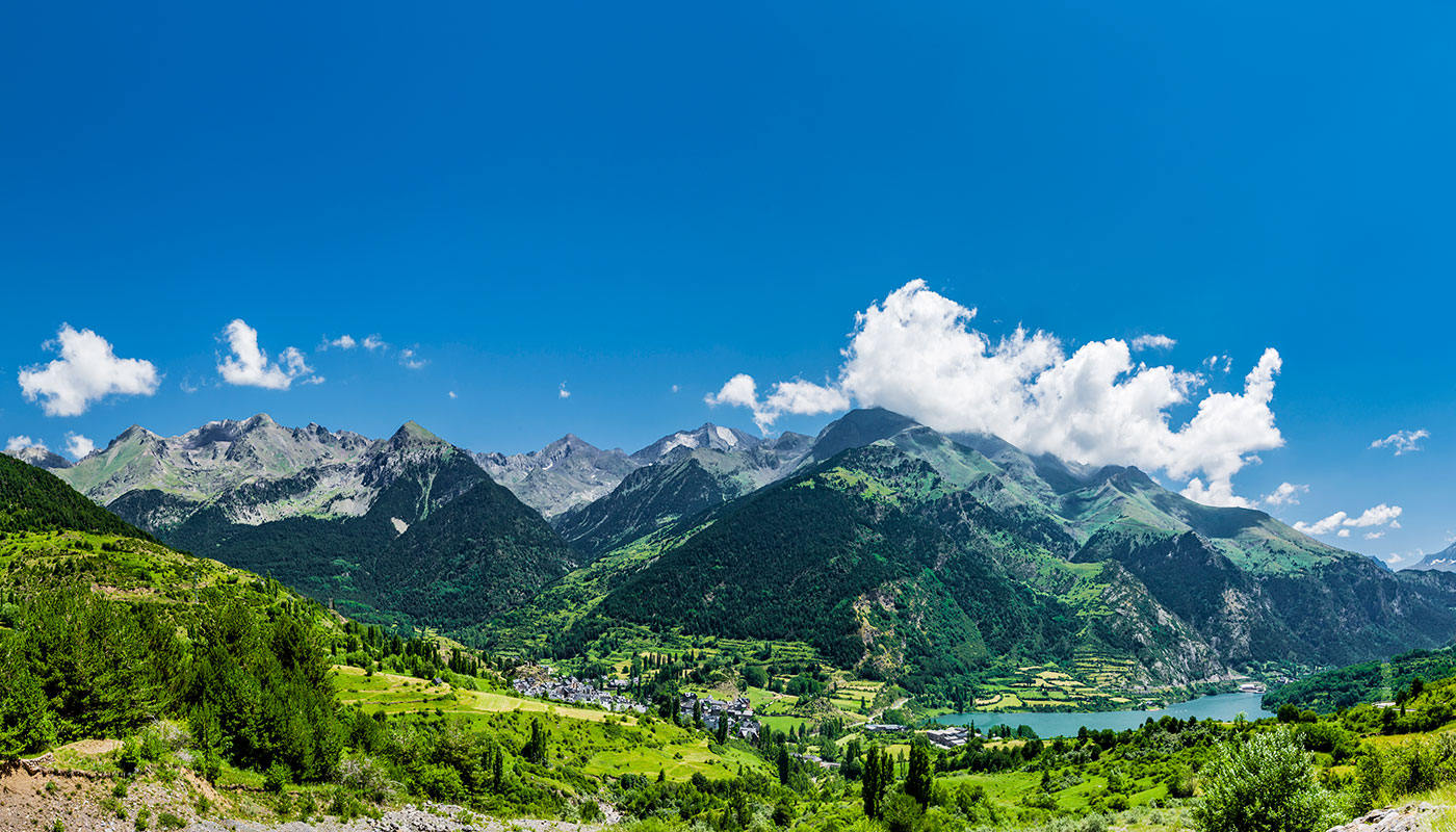
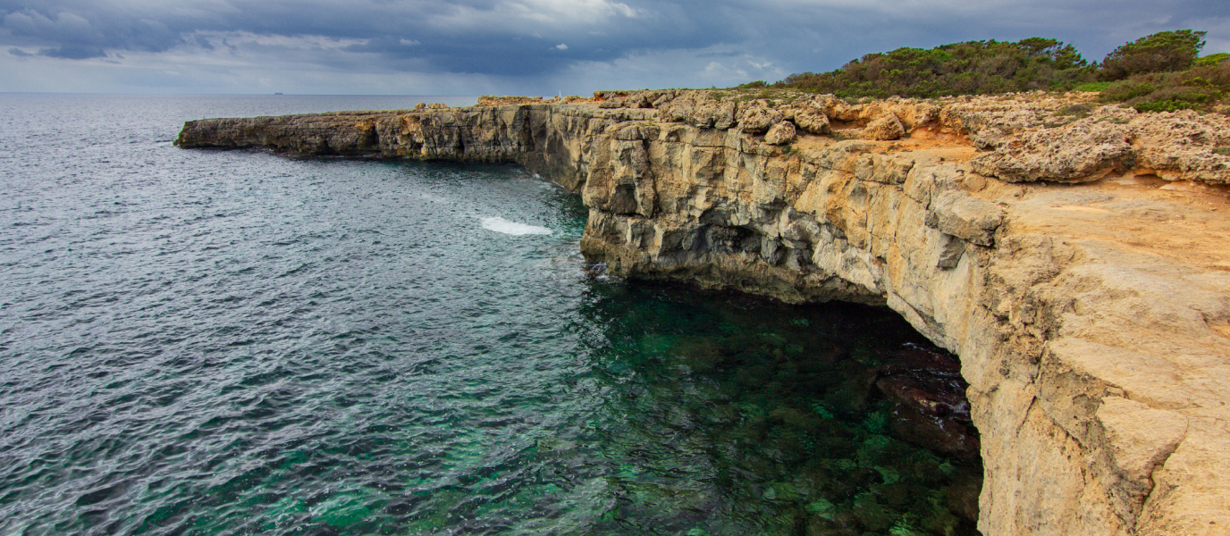
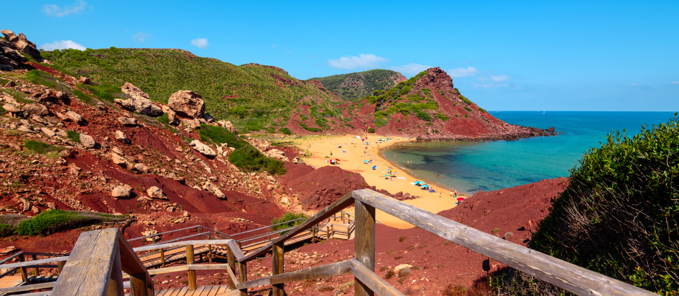
The Camí de Cavalls is one of the most pleasurable ways to discover Minorca’s most impressive coastal landscapes. This pleasant option—ideal for active tourists—can be covered by foot, by bike or even by horseback.
The Camí de Cavalls wasn’t always a peaceful route, however. In fact, its very existence can be explained by the tumultuous history of the island. It is believed to date back to the Middle Ages, to the times of James II of Aragon, who ordered the island’s horsemen to ensure that its coastal territories were patrolled by at least one armed vigilante on horseback. This was intended to protect the island from possible attacks from sea.
However, the Camí de Cavalls really started to serve a purpose during the periods of British and French rule. These administrations ensured that the route remained in good conditions, meaning it could be used as a channel of communication at all times.
With the passing of time and, significantly, the prolonged absence of battles, the Camí de Cavalls was gradually abandoned. Luckily, the route has been recovered in recent years, and can now be enjoyed by locals and tourists alike.
Minorca’s Camí de Cavalls in figures
The Camí de Cavalls is divided into 20 stages (or stretches); however, each stage isn’t necessarily covered in one day. In fact, depending on the physical condition of the hikers and how much time they have to explore Minorca, several stages could be covered in a single day.
If you choose to complete the Camí de Cavalls by bike, logic dictates that you wouldn’t need as many days to travel the whole route (around four days).
In total, the Camí de Cavalls (or the GR-223) is 185 kilometres long. Kilometre 0 is set in the Port of Mahón; however, with this being a circular route, the Camí de Cavalls can be started from any point.
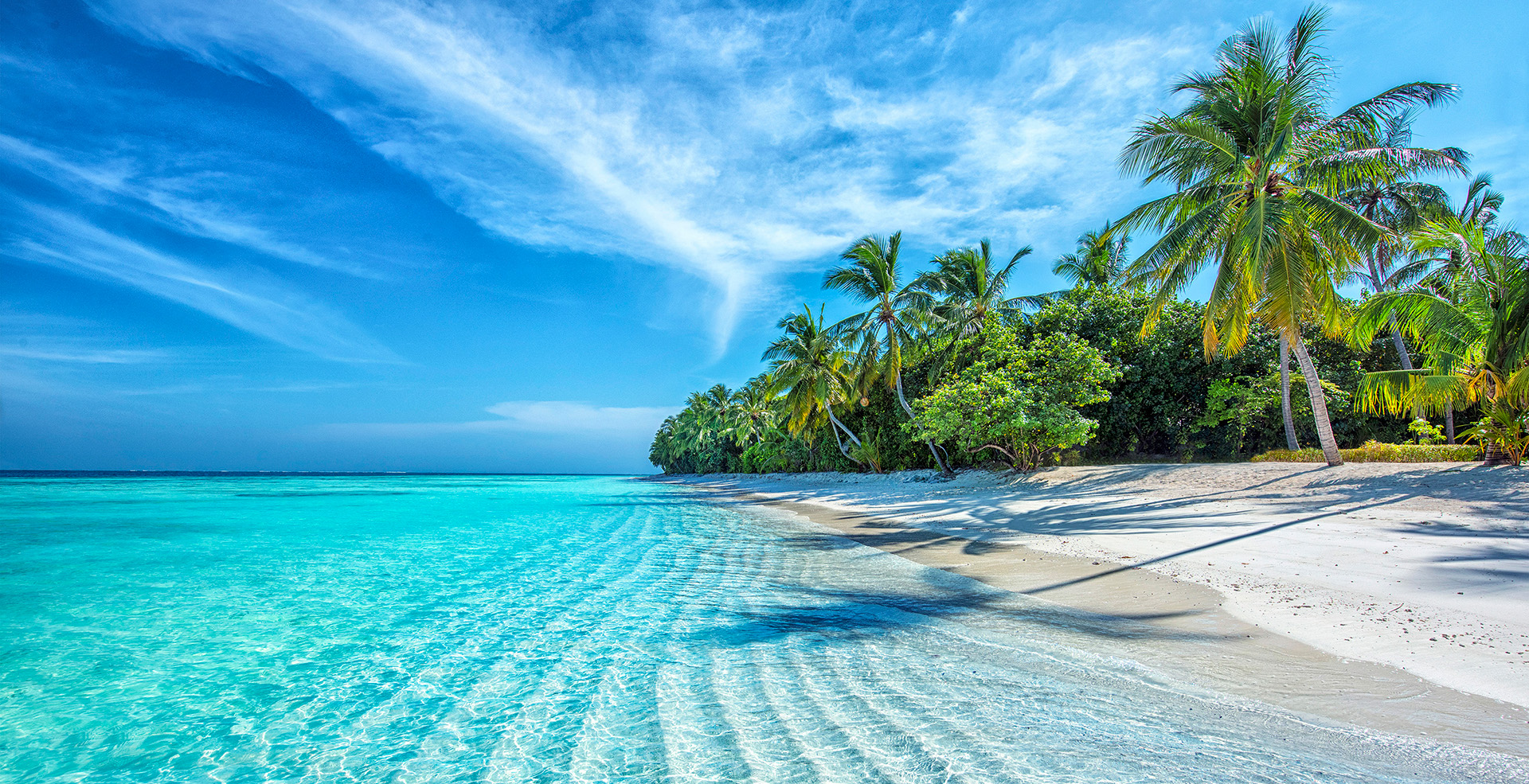
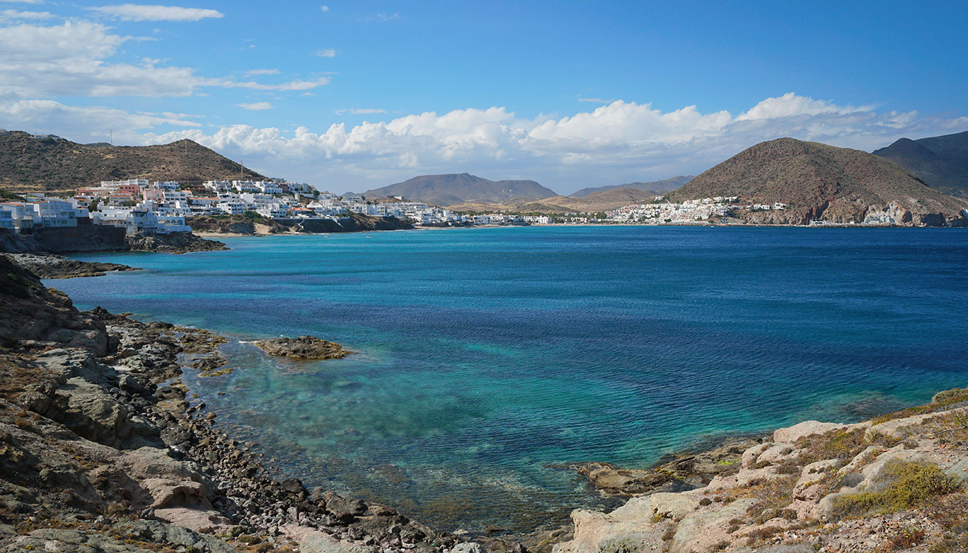
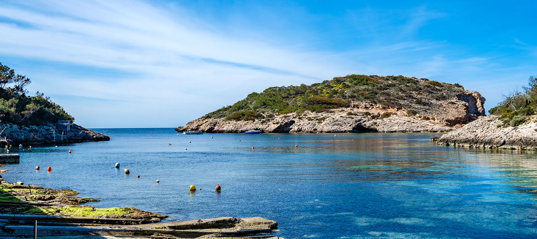
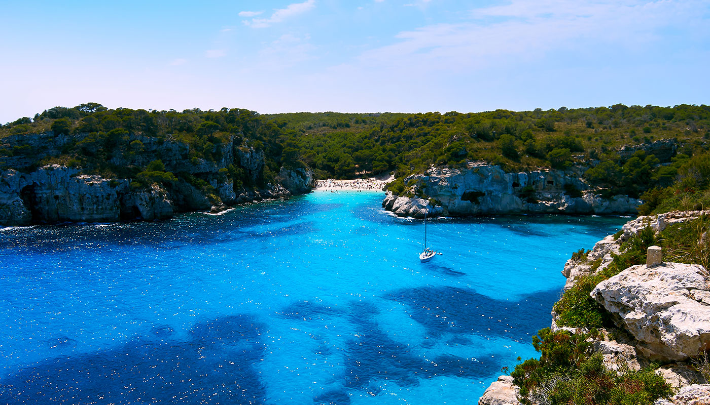
The Camí de Cavalls comprises different landscapes, ranging from the typical Mediterranean pine forests to grazing and farming areas, to beaches and small coves. It also passes through cities such as Mahón and Ciutadella, in addition to several charming villages.
Completing the Camí de Cavalls by bike
Those who are considering doing the Camí de Cavalls by bike should know that this isn’t a hugely demanding route. It does, however, have a few difficult stretches that you should be aware of. The highest you’ll get is 125 metres above sea level, with a total elevation gain of 4,000 metres along the total 185-kilometre route.
This is also a fairly technical route which can only be done on mountain bikes. Depending on the physical condition of each cyclist, the route can be split into three, four, five or six different stages. Most cyclists set off from the towns of Mahón or Ciutadella (Ciudadela), where you will find various bike rental shops and agencies that can help you to plan your route.
Most of the Camí de Cavalls cycle route coincides with the GR-223 trail, although alternative routes exist for those stretches that are more difficult to cover on two wheels. Thus, you could complete the Camí de Cavalls in four separate stages:
- Stage one: Mahón – Ses Salines de Fornells. This stage is 44 kilometres long, with a total elevation gain of 739 metres. The route passes through Sa Mesquida, Es Grau, Favàritx, Addaia, Arenal d’en Castell and Son Parc.
- Stage two: Ses Salines de Fornells – Ciutadella. This stage is 61 kilometres long, with a total elevation gain of 892 metres. The route runs through Cavalleria, Binimel·là, Alocs, El Pilar, Algaiarens and Cala Morell.
- Stage three: Ciutadella – Sant Tomàs. This stage is 43 kilometres long, with a total elevation gain of 376 metres. The route passes through places such as Parejals, Son Saura, Cala en Turqueta, Cala Macarella, Cala Galdana and Cala Mitjana.
- Stage four: Sant Tomàs – Mahón. This last stage is 48 kilometres long, with a total elevation gain of 451 metres. The route runs through Son Bou, Llucalari, Cala en Porter, Es Cabutells, Binibèquer, Punta Prima and Es Castell.
Completing the Camí de Cavalls by foot

You can walk the entire Camí de Cavalls trail over the course of several days, although the number of days will depend on the physical condition of each individual. We recommend not attempting it during the summer, due to the high temperatures. If you’re left with no other option, your best bet is to wake up as early as possible and to stop walking around mid-morning.
Make sure to wear hiking shoes, as some stretches comprise certain challenges in terms of terrain. You should also remember to bring enough water with you for each stage of the route. Finally, you must be eager to discover some of the island’s most spectacular landscapes!
Below is a guide to walking the Camí de Cavalls by foot, listing the various stages and the total kilometres covered by each one:
- Stage one: Mahón – Cap de Favàritx. This stage is 18.6 kilometres long, passing by Es Grau, Cala Tortuga and Cala Presili. The estimated walking time for this stage is six-and-a-half hours.
- Stage two: Cap de Favàritx – Cala Tirant. This stage is 24 kilometres long and of a medium difficulty, which can be walked in seven-and-a-half hours. The route passes through Arenal d’en Castell.
- Stage three: Cala Tirant – Els Alocs. This stage is 20.5 kilometres long and involves six-to-seven hours of walking. The route passes by the Cavalleria beach, Binimel·là and Cala Pregonda.
- Stage four: Els Alocs – Cala Morell. This stage, measuring slightly over 15 kilometres, passes by Cala Pilar and the Algaiarens beaches. It can be walked in five hours.
- Stage five: Cala Morell – Ciutadella. This stage is 18 kilometres long, which can be covered in six hours. It passes by Punta Nati.
- Stage six: Ciutadella – Cala en Turqueta. This stage is relatively long, measuring slightly over 26 kilometres in length. However, the route is fairly unchallenging. This may take you between eight and nine hours to complete. It runs by the Cap d’Artrutx and the Son Saura del Sur beaches.
- Stage seven: Cala en Turqueta – Platja de Sant Tomàs. This stage measures 15.5 kilometres in total, which can be walked in around seven hours. The route passes by Cala Macarella, Cala Galdana and Cala Mitjana.
- Stage eight: Platja de Sant Tomàs – Cala en Porter. This stage measures 14.5 kilometres in length, which can be walked in around six hours. The route will take you past Son Bou.
- Stage nine: Cala en Porter – Punta Prima. This stage is around 20 kilometres long. It can be walked in approximately six-to-seven hours.
- Stage ten: Punta Prima – Mahón. The final stage of the Camí de Cavalls is almost 14 kilometres long, which will take you around five hours to walk. Before reaching the island’s capital city, you will pass by Cala Sant Esteve.
Minorca’s size makes it perfect for the completion of other hiking routes, or you could even try to cycle all the way around it.

