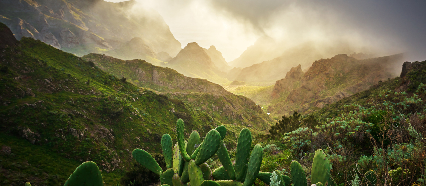
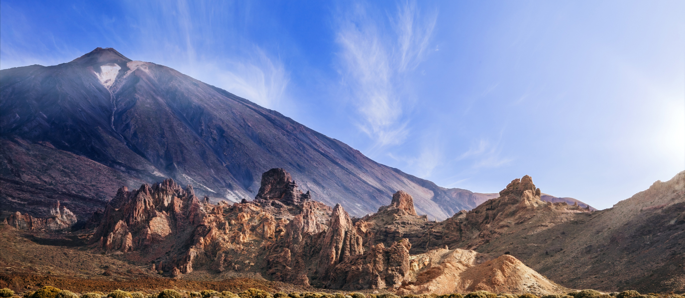
Together with the climb up to Mount Teide and the excursion to the Roques de García, the Masca Ravine, situated in the north-west of the island of Tenerife, is one of the most attractive hiking routes for travellers and locals. This is thanks to its moderate distance—approximately five kilometres—and pleasant route, as the trail traverses spectacular natural walls with unusual formations and descends all the way down to the ocean.
It is, therefore, a relatively accessible route that can be completed in around three or four hours. Nevertheless, this doesn’t mean that you should sit back too much, as the continuous descent and steep stretches can put mild strain on your knees and cause stiffness the next day. But don’t worry too much, as long as you plan it suitably, you will enjoy one of the loveliest routes on the island to the fullest.
Descending through the Masca Ravine: route characteristics
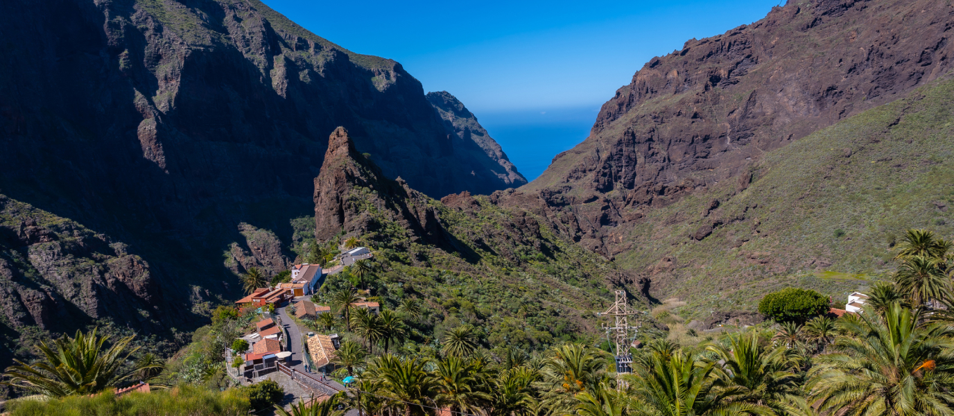
The most common—although not the only—way to do the hike is to descend from the hamlet of Masca to the beach. This small collection of houses, home to around 100 residents, dates back to the period of the Guanches, the island’s indigenous settlers. Its spectacular location, on the edge of a ravine surrounded by crags and cliffs, as well as the traditional architecture of its whitewashed houses, has contributed to its popularity as a tourist attraction, hence the difficulties in finding a parking space.
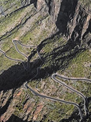
However, Masca is only the starting point; the trail leaves the hamlet behind in no time and forges ahead through small vegetable farms. It then starts to circumvent the watercourse that filters through the ravine creating small pools in some areas. It is precisely the action of this water that has eroded the Masca ravine’s stone structures over centuries giving rise to unusual rocky formations, which seem as if they have been sculpted deliberately.
Leaving behind the terraced plantations and any signs of human activity, the canyon section is one of the most spectacular parts of the hike. Here you can walk between imposing stone walls spanning a height of 100 metres, protected from the sun that so often shines on the island’s many beaches.
Along the route you will find different yellow signs that will help you to determine the correct direction if you are unsure. However, as the Masca Ravine trail is one of the most popular on the island, you will no doubt be accompanied by other hikers along much of the route. The one negative is that this mass appeal takes away part of the hike’s charm; the positive thing, however, is that it will be hard to get lost.
Finally, the ocean: leaving the Masca Ravine
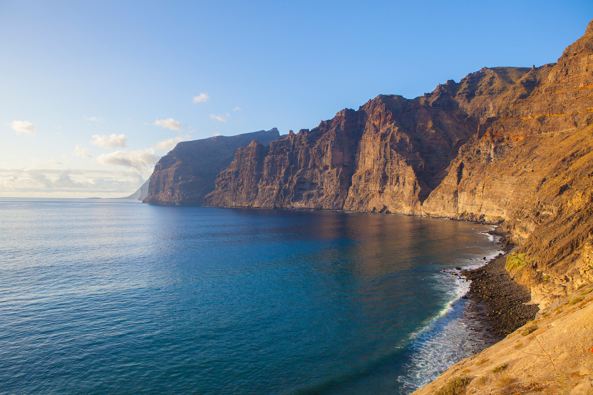
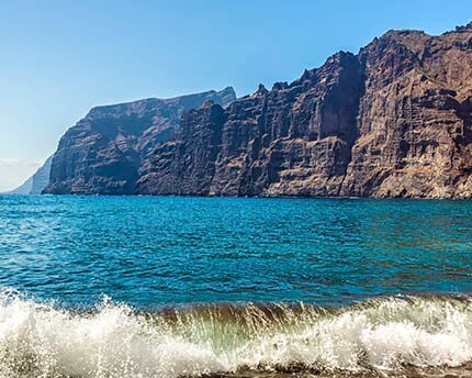
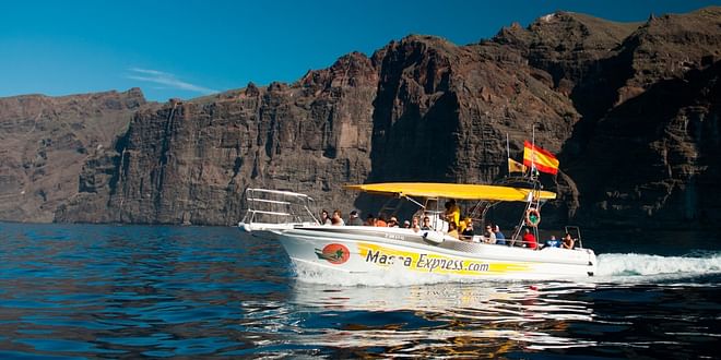
On the last stretch, you will be able to feel the close presence of the Atlantic as the sky begins to open up, the light of the archipelago starts to shine once again and the waves can be heard in the background. After descending for three or four hours, the route comes to an end at a beautiful cove. Although it may not be the most comfortable beach on the island, take some time to sit down on the pebbles and take in the setting for a few minutes, as the hike finishes, no more and no less, than at the colossal Los Gigantes cliffs.
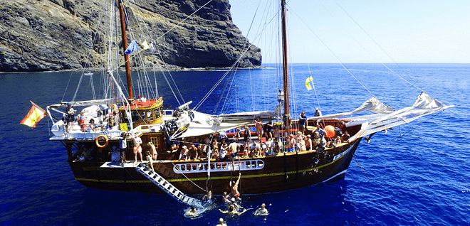
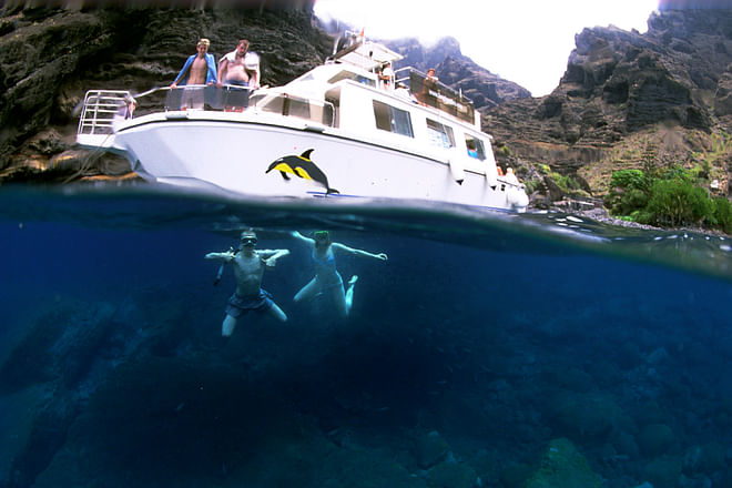
Once here, the most pressing question is quite obviously: How do I get back to where I started from? There are three options: the most courageous can go back on themselves and climb back up to Masca; the most popular choice is to find a water taxi at the beach, which will take you to the port of Los Gigantes; and, finally, one fun option is to set sail to the port of Los Gigantes on board a kayak. If you decide to take a water taxi, you can book one ahead to avoid any unforeseen circumstances. In any case, there are several stands at the cove itself where you can buy tickets as soon as you arrive.
Prepared for a great day out hiking in Tenerife? Well don’t hang about, as the route through the Masca Ravine is more than a safe bet.

